 ” … With support from the Water Foundation, a collaborative effort among California nonprofits and community groups has been leading statewide advocacy to ensure public agencies and elected officials implement the legislation fairly, effectively, and equitably.
This month, the group marked an important milestone. Over the past year, researchers and advocates at Ag Innovations, Audubon California, Clean Water Fund, Local Government Commission, The Nature Conservancy, and Union of Concerned Scientists, among others, have been pouring over thousands upon thousands of pages of local groundwater sustainability plans. While often hard to decipher and full of technical jargon, these plans reveal more about California’s groundwater health than we’ve ever seen publicly available before. … ”
Continue reading at the Water Foundation here: California Regions Submitted Their First Groundwater Sustainability Plans in 2020. How Did They Do?
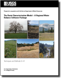 This report documents the computer software package, Basin Characterization Model, version 8 (BCMv8)—a monthly, gridded, regional water-balance model—and provides detailed operational instructions and example applications. After several years of many applications and uses of a previous version, CA-BCM, published in 2014, the BCMv8 was refined to improve the accuracy of the water-balance components, particularly the recharge estimate, which is the most difficult to accurately assess.
The improvement of the various water-balance components targeted the actual evapotranspiration component, which, in turn, reduced the uncertainty of the recharge estimate. The improvement of this component was enabled by the availability of a national, gridded actual-evapotranspiration product from the U.S. Geological Survey that was unique in its scope to combine remotely sensed spatial variability and ground-based long-term water-balance constraints.
This dataset provided the ability to assess monthly actual evapotranspiration for 62 vegetation types and to perform regional calibration in watersheds throughout California with the objective of closing the water balance using improved estimates for each component. The refinements, including vegetation-specific evapotranspiration, enabled the development of applications that could explore various aspects of landscape disturbance, such as wildfire, forest management, or urbanization.
The improvements to BCMv8 also provided the ability to assess long-term sustainability of water resources under a variety of management applications or future climate projections.
For more information, click here.
From the Water Foundation:
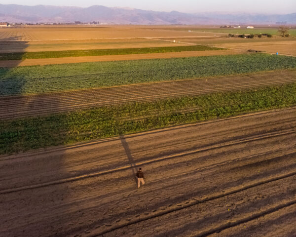 “Producing food requires large water resources, and in California, thousands of farms are mostly or solely reliant on groundwater sources. While farmers are integral stakeholders in sustainable groundwater management, the perceptions of individual farmers regarding water policy and management are not well understood.
Food system and natural resources researchers at the University of Vermont surveyed Yolo County farmers in 2017 to understand their perspectives on SGMA, water management practices, and policy preferences. In 2019, with support from the Water Foundation, Meredith Niles at the University of Vermont and Courtney Hammond Wagner at Stanford University expanded their survey and analysis to farmers in Fresno, Madera, and San Luis Obispo counties, in partnership with local county farm bureaus.
Together, these four county-level surveys of 690 farmers revealed many similarities in farmers’ perspectives, despite agricultural and sociocultural differences. … ”
See also: To Achieve Sustainable Groundwater Management, CA Needs a Bigger, Inclusive Table, commentary by Alesandra Nájera and Mike Myatt
From UC Davis Center for Regional Change:
“Studies estimate that 1.5 – 2.5 million Californians rely on domestic wells to meet their household water needs (Johnson and Belitz 2015; Dieter et al. 2018; Pace et al. 2020). But because domestic wells are often shallow, they are also often sensitive to changes in groundwater levels. As such, sustainable groundwater management has an important role to play in safeguarding the health and safety of residents and the achievement of California’s recognized Human Right to Water.
This report analyzes 41 Groundwater Sustainability Plans in 19 critical priority subbasins in California (in the San Joaquin Valley, Central California, and the Central Coast) to assess monitoring network coverage and the vulnerability of domestic wells to minimum thresholds (MTs), or the lowest groundwater level considered sustainable. … ”
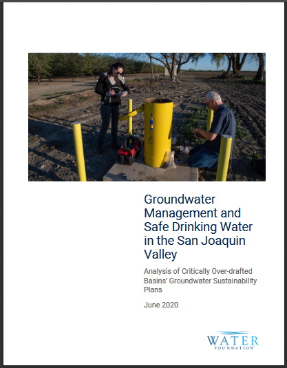 To support the state’s implementation of SGMA and its continued progress on the human right to water, the Water Foundation commissioned an analysis of 26 GSPs in the San Joaquin Valley to understand how private domestic drinking water wells in the region will be affected on the path to sustainability. Among its key findings, the analysis estimates that the goals in these San Joaquin Valley GSPs, if not proactively addressed, will result in:
- Between roughly 4,000 and 12,000 partially or completely dry drinking water wells by 2040
- Between roughly 46,000 and 127,000 people who lose some or all of their primary water supply by 2040
- Between $88 million to $359 million in costs to restore access to drinking water
State regulatory agencies must now work with these GSAs over the next two years to implement SGMA in a manner that avoids these impacts or finds suitable replacement for lost water supplies to ensure the right to water for all California residents.
 From the Water Foundation:
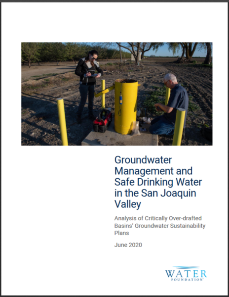
To support the state’s implementation of SGMA and its continued progress on the human right to water, the Water Foundation commissioned an analysis of 26 GSPs in the San Joaquin Valley to understand how private domestic drinking water wells in the region will be affected on the path to sustainability. Among its key findings, the analysis estimates that the goals in these San Joaquin Valley GSPs, if not proactively addressed, will result in:
-
-
-
- Between roughly 4,000 and 12,000 partially or completely dry drinking water wells by 2040
- Between roughly 46,000 and 127,000 people who lose some or all of their primary water supply by 2040
- Between $88 million to $359 million in costs to restore access to drinking water
State regulatory agencies must now work with these GSAs over the next two years to implement SGMA in a manner that avoids these impacts or finds suitable replacement for lost water supplies to ensure the right to water for all California residents. Further, more analysis beyond the scope of this analysis is required to explore the effect of GSPs on other areas of concern, such as impacts on the environment and on important infrastructure due to land subsidence.
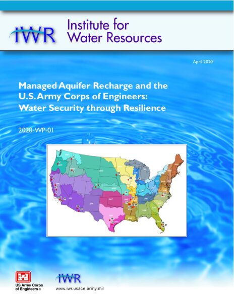 The U.S. Army Corps of Engineers’ (USACE) Institute for Water Resources (IWR) released a report titled Managed Aquifer Recharge (MAR) and the U.S. Army Corps of Engineers: Water Security through Resilience.
With the water needs of society increasing and becoming increasingly diverse, water management and planning are more challenging than ever. Water security in all its forms is as important, but seems progressively difficult to achieve. Additional water storage and flood risk management is needed, but major new surface infrastructure projects seem unlikely. Water storage underground (managed aquifer recharge, or MAR) is an alternative to augment surface storage and increase resilience of USACE projects while improving the Nation’s water security.
MAR is a term that covers artificial recharge, aquifer storage and recovery, riverbank and riverbed filtration, groundwater banking, and other mechanisms of purposeful water recharge to aquifers for later recovery. MAR use has grown rapidly over the last two decades, progressing from an often-experimental concept to a management tool used in over 1000 sites around the world.
The U.S. Army Corps of Engineers (USACE) and its partners have engaged, or considered engaging, in the use of MAR in a variety of settings and purposes, throughout the United States. These purposes include:
-
-
- Flood risk management -Recharge of floodwaters, in combination with surface storage, can dampen the flood peak.
- Aquatic ecosystem restoration – Discharging stored groundwater may help maintain timely environmental flows.
- Drought resilience – MAR can provide back-up storage for multi-year droughts without losses due to evaporation.
- Salt-water intrusion prevention – Replenishing coastal aquifers can provide additional agricultural and potable water supply while keeping salt water at a safe distance.
- Multi-purpose projects – Urban water projects can combine wastewater reuse, wetlands restoration, recreational and educational opportunities, and MAR.
This report examines how MAR has been, is being, or could be used in conjunction with USACE Civil Works water resources projects. The report summarizes some of USACE’s authorities for using MAR, provides numerous examples of USACE activities involving MAR, reviews the experience of other US government agencies and Departments, and considers how MAR can be integrated into the USACE civil works planning process and new initiatives.
The report is available for free download from the IWR Library.
Learn More
For more information, visit:
From the University of California Riverside:
Grasslands across the globe, which support the majority of the world’s grazing animals, have been transitioning to shrublands in a process that scientists call “woody plant encroachment.”
Managed grazing of drylands is the most extensive form of land use on the planet, which has led to widespread efforts to reverse this trend and restore grass cover due to the belief that it results in less water entering streams and groundwater aquifers.
A new study led by Adam Schreiner-McGraw, a postdoctoral hydrology researcher at the University of California, Riverside, modeled shrub encroachment on a sloping landscape and reached a startling conclusion: Shrub encroachment on slopes can increase the amount of water that goes into groundwater storage. The effect of shrubs is so powerful that it even counterbalances the lower annual rainfall amounts expected during climate change.
 From the Department of Water Resources:
California’s climate is the most variable of any state, historically swinging from dry to flood conditions with climate change intensifying these swings. Although three of the last four water years have been above normal with 2017 and 2019 standing out as some of the wettest on record, the last decade has had a majority of the years below normal precipitation and include the timeframe of the state’s most recent drought.
Although Spring 2019 groundwater levels have mostly recovered from the past one to three years, they have not fully recovered to pre-drought conditions throughout the state as shown in the five- and 10-year time periods. At this time, there is insufficient data coverage to determine the long-term effects of the drought in some subbasins throughout the state; however, since CASGEM reporting requirements began in 2011, statewide data coverage has improved in most areas except for data gaps in Tulare, Kern, San Bernardino, Riverside, and Imperial counties.
 ” … With support from the Water Foundation, a collaborative effort among California nonprofits and community groups has been leading statewide advocacy to ensure public agencies and elected officials implement the legislation fairly, effectively, and equitably.


