From the Department of Water Resources:
With California in the third year of a severe drought and facing continued extreme weather swings, the California Department of Water Resources (DWR) has been developing and using new data and forecasting tools to better anticipate and manage available water supplies.
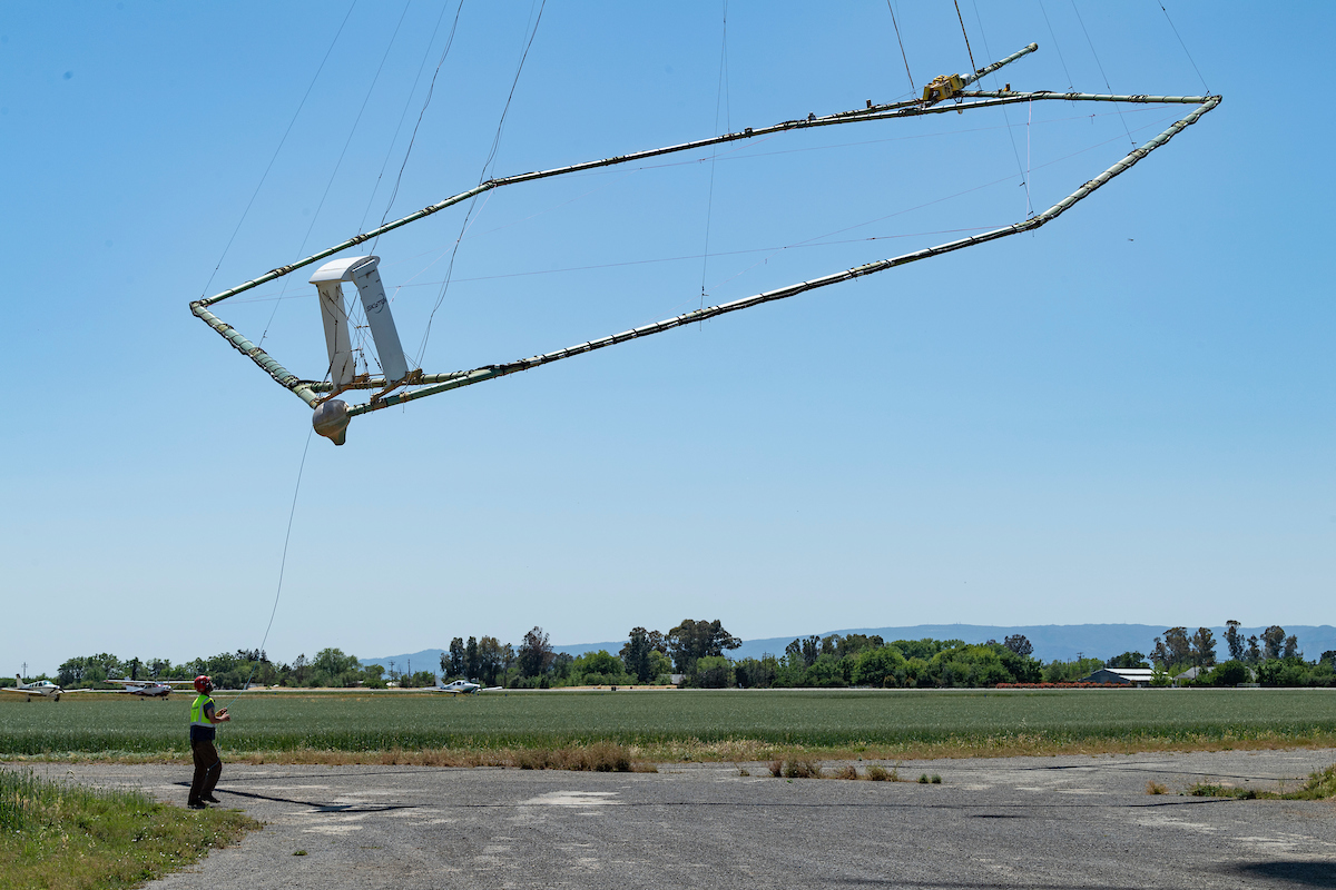
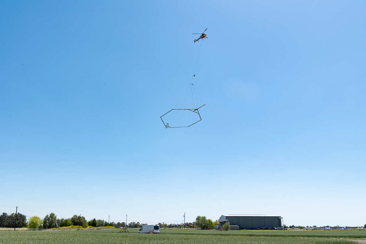
One new technology that DWR is implementing statewide is collecting airborne electromagnetic (AEM) data across California to better understand the groundwater aquifer structure and to support the state and local goal of sustainable groundwater management. The AEM method is an innovative helicopter-based technology that has been compared to taking an MRI of the subsurface, which helps DWR to better understand underground geology. The resulting underground images provide local groundwater sustainability agencies (GSAs) with data to identify priority areas for recharging groundwater.
Click here to continue reading from the Department of Water Resources.