DWR Releases Decisions for Groundwater Management Plans in Critically Overdrafted Basins

Department of Water Resources Will Transmit Six Basin Determinations to State Water Board, Beginning State Intervention Process

From the Department of Water Resources:

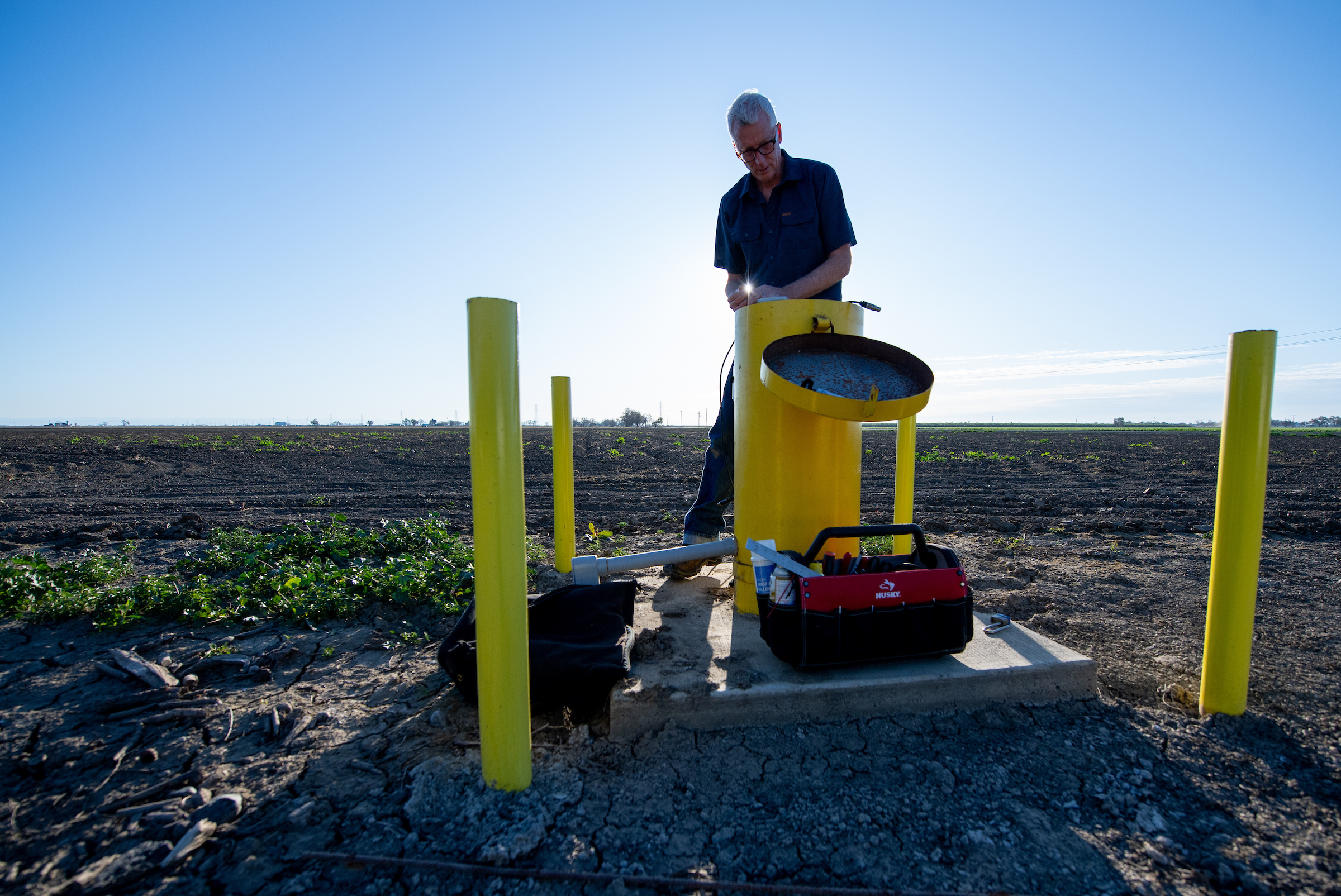
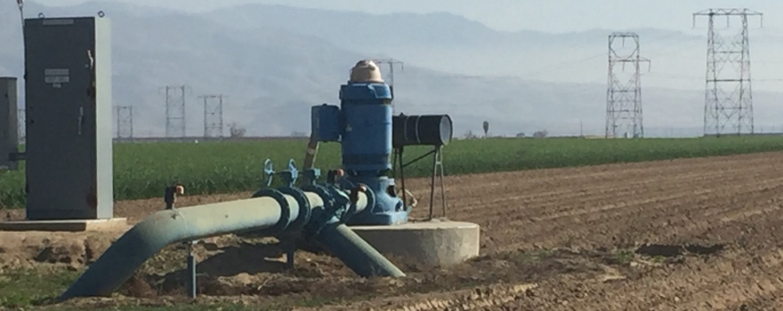
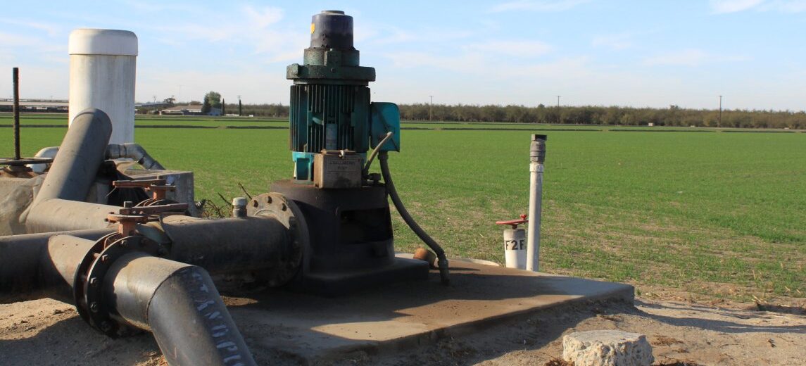
The Department of Water Resources (DWR) today announced decisions for groundwater sustainability plans (GSPs) for 12 critically overdrafted groundwater basins in Central California. These plans provide a roadmap for how groundwater basins will reach long-term sustainability, while implementing near-term actions such as expanding monitoring programs, reporting annually on groundwater conditions, implementing groundwater recharge projects and designing allocation programs.

Of the 12, plans for six basins are recommended for approval with recommended corrective actions for the basins to remain in an approved status. The remaining six basins are deemed inadequate and are transitioning from DWR’s oversight to the State Water Board for State intervention under the Sustainable Groundwater Management Act (SGMA). Adopted in 2014, SGMA requires local groundwater sustainability agencies (GSAs) in medium- and high-priority groundwater basins, which includes 21 critically overdrafted basins, to develop and implement GSPs.

DWR recommends approval of plans for the following basins:

    • Cuyama Basin in Santa Barbara, San Luis Obispo, Ventura and Kern counties
    • Paso Robles Subbasin in San Luis Obispo County
    • Eastern San Joaquin Subbasin in San Joaquin County
    • Merced Subbasin in Merced County
    • Westside Subbasin in Fresno and Kings counties
    • Kings Subbasin in Fresno County

DWR deemed the following basin plans Inadequate:

    • Chowchilla Subbasin in Madera and Merced counties
    • Delta-Mendota Subbasin in San Joaquin, Stanislaus, Merced, Fresno, Madera, and San Benito counties
    • Kaweah Subbasin in Tulare and Kings counties
    • Tule Subbasin in Tulare County
    • Tulare Lake Subbasin in Kings County
    • Kern Subbasin in Kern County

GSAs are required to begin implementing their plans as soon as they are adopted locally, and these activities will continue even if basins are under State intervention. These plans will help local agencies address conditions that negatively impact groundwater within 20 years such as groundwater overdraft, degraded groundwater quality, land subsidence, and impacts to drinking water well users.

The GSAs whose plans are recommended for approval conducted critical analysis of groundwater levels, water quality and inter-connected surface waters to develop and refine sustainable groundwater management criteria. While additional analytical work is needed during implementation, DWR deemed the framework for management sufficient under the law.

“Since the onset of SGMA, local agencies have stepped up with dedication and progress in meeting critical milestones,” said DWR Director Karla Nemeth. “Protecting domestic wells, minimizing land subsidence and protecting groundwater resources are all State priorities. Implementation of these plans, which will require difficult adjustments as we go, will ultimately provide a safe and reliable groundwater supply for communities for generations to come.”

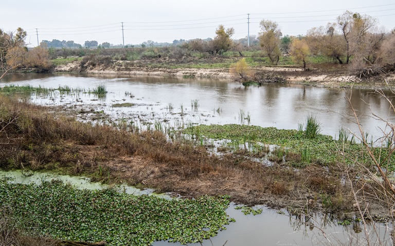
The basins deemed inadequate by DWR did not appropriately address deficiencies in how GSAs structured their sustainable management criteria. The management criteria provide an operating range for how groundwater levels prevent undesirable effects such as overdraft, land subsidence and groundwater levels that may impact drinking water wells, within 20 years. These GSAs did not analyze and justify continued groundwater level declines and land subsidence. Further, the GSPs lacked a clear understanding of how the management criteria may cause undesired effects on groundwater users in the basins or critical infrastructure.

In January 2022, after technical evaluation, DWR found the plans in these 12 critically overdrafted basins to be incomplete, identifying significant deficiencies that precluded approval. The GSAs had 180 days to correct the deficiencies and revise and resubmit their plans to DWR for re-evaluation, consistent with the regulations.

The basins with plans recommended for approval will continue to work with DWR and report on their progress in implementing their plans and completing corrective actions. DWR will transmit each basin deemed inadequate to the State Water Board, which may designate the basin probationary after providing public notice and then holding a public hearing. Any probationary designation will identify the deficiencies that led to intervention and potential actions to remedy the deficiencies. At the hearing, interested parties will have the opportunity to provide comments and technical information to the State Water Board regarding the deficiencies that were identified in the plans. Each basin is unique and will be evaluated individually by the State Water Board. State intervention and oversight is a critical step in making sure these basins succeed in achieving sustainable groundwater conditions. The ultimate goal is to have all basins return to local management with a clear path on how to achieve sustainability within 20 years of their original plan submittal.

DWR supports local agencies by providing planning, technical and financial assistance to help GSAs and local communities in this long-term effort to sustainably manage their groundwater basins. The critically overdrafted basins each received $7.6 million in Sustainable Groundwater Management grant funding to help them implement their plans. Complementary funding programs like DWR’s LandFlex program, state drought assistance programs, and the California Department of Conservation’s Multibenefit Land Repurposing program are helping the most critically overdrafted areas of the state reduce their dependence on groundwater and fast-track progress in reaching local sustainability goals.

Out of a total of 94 groundwater basins required to submit plans under SGMA, DWR has provided determinations for 24 basins and is currently reviewing an additional 61 plans from 59 of the state’s high- and medium- priority basins that were submitted to DWR in January 2022. DWR anticipates issuing determinations for the remaining basins throughout 2023.

For more information, visit:

Media Coverage:

DWR Awards $25 Million in LandFlex Grants to Protect Drinking Water Wells

The Department of Water Resources (DWR), in coordination with the California Department of Food and Agriculture, today awarded $25 million in financial assistance to three groundwater sustainability agencies (GSAs) through the LandFlex Program. The funding will help preserve critical groundwater supplies in Central Valley communities.

LandFlex is a tool for GSAs to help provide immediate protection of drinking water wells in underrepresented communities impacted by prolonged drought and overpumping of groundwater supplies. The program also helps GSAs accelerate efforts to better manage and protect groundwater supplies for long-term sustainability as required by the Sustainable Groundwater Management Act (SGMA) of 2014.

Click here to continue reading at DWR.

DWR Launches New Web-Based Mapping Tool Showing Nearly 3,000 Groundwater Sustainability Projects

From the Department of Water Resources:

A new web-based tool developed by the Department of Water Resources (DWR) will allow the public to explore thousands of groundwater projects across California to get a better understanding of one of the state’s most critical water supply resources. The virtual mapping tool is part of the State’s ongoing commitment to develop new, innovative solutions to provide information and resources to address the effects of California’s changing climate and ongoing severe drought.

The California Groundwater Projects Tool is an interactive mapping tool that allows users to explore a database of nearly 3,000 projects initiated in California over the last decade to protect groundwater resources. The mapping tool features projects that were funded by DWR and external sources such as federal or local funding. The database will include information about project benefits and effectiveness in relation to the Sustainable Groundwater Management Act (SGMA). Users can also access more than 20 project case studies and get guidance on how to measure and track benefits of projects following construction.

Continue reading from the Department of Water Resources by clicking here.

DWR: Going with the Flow: How Aquifer Recharge Reduces Flood Risk

From the Department of Water Resources:

On a small scale, aquifers — subsurface natural basins — have benefitted from man-made recharge for decades. Now, a new Department of Water Resources (DWR) assessment shows how Flood Managed Aquifer Recharge, or Flood-MAR, can help reduce flood risk and boost groundwater supplies across large areas of land.

A climate change problem solver, Flood-MAR collects high flow flood waters from heavy precipitation or snow melt and conveys it downstream. There, the flood waters are spread across the land, creating wetland habitat or irrigating fields while also percolating to aquifers underground. The capturing of flood waters during times of peak flows lessens the risk of major flooding during heavy storms. Some of the water later makes its way back to waterways where it can also support ecosystems and riverine habitat. In partnership with the Merced Irrigation District, Sustainable Conservation, and others, DWR experts analyzed how this would work in the Merced River —a 145-mile-long tributary of the San Joaquin River. The Merced River, which flows from the Sierra Nevada to the San Joaquin Valley, could be much more vulnerable to heavy flooding as storms intensify.

Click here to read more from the Department of Water Resources.

Public Comment Period Opens for Additional Resubmitted Groundwater Sustainability Plans with ‘Incomplete’ Determinations

From the Department of Water Resources:

On January 28, 2022, the Department released eight Incomplete determinations on groundwater sustainability plans (GSPs) developed by local agencies to meet the requirements of the Sustainable Groundwater Management Act (SGMA). These basins were given 180 days to address deficiencies and resubmit their revised GSPs to the Department for review.

The revised GSPs in response to the Incomplete determination have been resubmitted to the Department and are now posted on the DWR SGMA Portal. These plans are open to public comment for 60 days after the posted date. Below in the table are links to the submitted plans, counties they cover, and the public comment period end date. More information about how to comment on a GSP can be found in the public comment factsheet, available in English and Spanish. Please note that a SGMA Portal account is not required to submit a public comment.

 Basin Local ID (if applicable) Counties Covered Public Comment Period End Date
Eastern San Joaquin N/A Calaveras, San Joaquin, Stanislaus 9/30/2022
Merced N/A Mariposa, Merced, Stanislaus 9/30/2022
Chowchilla N/A Madera, Merced 9/30/2022
Kings (including Coordination Agreement) Kings_SouthKings_Adopted Fresno, Kings, Tulare 9/30/2022
Kings_NorthKings_Adopted 9/30/2022
Kings_NorthForkKings_Adopted 9/30/2022
Kings_McMullinArea_Adopted 9/30/2022
Kings_KingsRiverEast_Adopted 9/30/2022
Kings_James_Adopted 9/30/2022
Kings_CentralKings_Adopted 9/30/2022
Kaweah (including Coordination Agreement) Mid-Kaweah GSA Kings, Tulare 9/30/2022
Kaweah Subbasin – Greater Kaweah Subbasin 9/30/2022
East Kaweah 9/30/2022
Tulare Lake N/A Kern, Kings, Tulare 9/30/2022
Tule (including Coordination Agreement) Tule Subbasin Alpaugh GSP Kern, Tulare 9/30/2022
Pixley ID GSA 9/30/2022
LTRID GSA 9/30/2022
DEID GSA 9/30/2022
Basin 5-022.13 TCWA – Tule 9/30/2022
Basin 5-022.13 ETGSA GSP 9/30/2022
Kern County (including Coordination Agreement) KGA GSP Kern, San Luis Obispo 9/30/2022
Kern County Subbasin Olcese GSP 9/30/2022
Kern County Subbasin KRGSA GSP 9/30/2022
Henry Miller Water District GSA 9/30/2022
BVGSA 9/30/2022
  South of Kern   9/30/2022


Public Comment Period Opens for a Groundwater Sustainability Plan

A groundwater sustainability plan that has recently been submitted to the Department is now posted on the DWR SGMA Portal.

The plan is open to public comment for 75 days after the posted date. Below in the table is a link to the submitted plan, the county it covers, and the public comment period end date.

Information about how to comment on the plan can be found in a fact sheet in English and Spanish. Public comments are welcomed and encouraged. A SGMA Portal account is not necessary to submit comments.

 Basin Local ID (if applicable) County Covered Public Comment Period End Date
Riverside-Arlington N/A Riverside 10/15/2022
San Gabriel Valley N/A Los Angeles 10/15/2022

For questions or more information, email sgmps@water.ca.gov.

Public Comment Period Opens for Re-Submitted Groundwater Sustainability Plans with ‘Incomplete’ Determinations

From the Department of Water Resources:

On January 21, 2022, the Department released four Incomplete determinations on groundwater sustainability plans (GSPs) developed by local agencies to meet the requirements of the Sustainable Groundwater Management Act (SGMA). These basins were given 180 days to address deficiencies and resubmit their revised GSPs to the Department for review.

The revised GSPs in response to the Incomplete determination have been re-submitted to the Department and are now posted on the DWR SGMA Portal. These plans are open to public comment for 60 days after the posted date. Below in the table are links to the submitted plans, counties they cover, and the public comment period end date.

The remaining revised GSPs must be submitted to the SGMA Portal by July 27, 2022 and will also be open to public comment for 60 days after the posted date.

Additional information related to this process is available in the GSP Reporting System – Incomplete Resubmission Process User Manual.

 Basin Local ID (if applicable) Counties Covered Public Comment Period End Date
Cuyama N/A Kern, San Luis Obispo, Santa Barbara, Ventura 9/19/2022
Paso Robles Area N/A San Luis Obispo 9/19/2022
Delta-Mendota (including Coordination Agreement) Aliso WD GSA Fresno, Madera, Merced, San Joaquin, Stanislaus 9/19/2022
DM_NorthCentral_Adopted 9/19/2022
DM_Grassland_Adopted 9/19/2022
DM_Farmers_Adopted 9/19/2022
DM_FresnoCounty_Adopted 9/19/2022
DM_SJREC_Adopted 9/19/2022
Westside N/A Fresno, Kings 9/19/2022


For questions or more information, email sgmps@water.ca.gov.

DWR: New Data Viewer Allows Public to See the Hidden Groundwater Basins Beneath our Feet and Helps Decision Makers Prepare for Drought Impacts

A helicopter demonstrates how this AEM subterranean survey is conducted to find where water is more likely to exist.. Photo by Andrew Innerarity/ DWR

From the Department of Water Resources:

With California in the third year of a severe drought and facing continued extreme weather swings, the California Department of Water Resources (DWR) has been developing and using new data and forecasting tools to better anticipate and manage available water supplies.

One new technology that DWR is implementing statewide is collecting airborne electromagnetic (AEM) data across California to better understand the groundwater aquifer structure and to support the state and local goal of sustainable groundwater management. The AEM method is an innovative helicopter-based technology that has been compared to taking an MRI of the subsurface, which helps DWR to better understand underground geology. The resulting underground images provide local groundwater sustainability agencies (GSAs) with data to identify priority areas for recharging groundwater.

Click here to continue reading from the Department of Water Resources.

New Data Shows Subsidence Continued in Water Year 2021, But Pace Slower than Seen in Previous Droughts

The California Department of Water Resources (DWR) released new satellite-based data that show subsidence – or the sinking of the land surface due to excessive groundwater pumping – continues in the state. DWR has intensified statewide subsidence monitoring to help identify impacts and address them collaboratively with local groundwater agencies, counties and landowners.

The areas experiencing the most subsidence during Water Year 2021 (WY 2021) are in the San Joaquin Valley, with a maximum of 1.1 feet of subsidence observed in the region and the Sacramento Valley with a maximum of 0.7 feet in the region. Data show that in WY 2021 subsidence of greater than 0.5 feet per year expanded to more areas than observed in WY 2020. However, fewer areas experienced higher rates of subsidence than at the end of the last drought in 2016.

Click here to read more from DWR News.

THIS JUST IN … DWR Releases Additional “Incomplete” Groundwater Sustainability Plan Assessments to Agencies, Initiating 180-day Timeline to Correct Deficiencies

From the Department of Water Resources:

Today, the California Department of Water Resources (DWR) released eight determinations on groundwater sustainability plans (GSPs) developed by local agencies to meet the requirements of the Sustainable Groundwater Management Act (SGMA).

DWR has found in its technical review that the GSPs in eight basins contain deficiencies that preclude approval and the plans are determined to be Incomplete. The eight basins include the Eastern San Joaquin Subbasin, Merced Subbasin, Chowchilla Subbasin, Kings Subbasin, Kaweah Subbasin, Tulare Lake Subbasin, Tule Subbasin, and Kern County Subbasin, primarily located in the San Joaquin Valley.

The basins with GSPs that are determined Incomplete have 180 days from today’s release of DWR’s determination to address deficiencies and resubmit their corrected GSPs to the Department for review.

The determinations can be found on the Department’s SGMA Portal. For more information related to these GSP Assessments, please find the Frequently Asked Questions: Incomplete Determinations & Next Steps on our website. For questions, please contact the Sustainable Groundwater Management Office by emailing sgmps@water.ca.gov.


2022 SAFER Aquifer Risk Map: Estimating groundwater quality risk for domestic wells and state small water systems

From the State Water Board:

The Safe and Affordable Funding for Equity and Resilience (SAFER) drinking water program is a set of tools, funding sources, and regulatory authorities to provide assistance to the nearly one million Californians who currently lack safe drinking water.

The Aquifer Risk Map fulfills one of the requirements in Senate Bill 200 (Monning, statutes of 2019), and is a component of the SAFER program. The Aquifer Risk Map uses existing water quality data to estimate where domestic wells (serving less than five connections) and state small water systems (serving between 5 and 15 connections) are at risk of accessing groundwater that does not meet primary drinking water standards.

The Aquifer Risk Map is intended to inform Water Boards staff in the preparation of the annual Fund Expenditure Plan and to help identify at-risk state small water systems and domestic wells as required in SB 200. For the 2022 Needs Assessment, the SAFER program will combine the results of the Aquifer Risk Map with drought risk data from the Department of Water Resources to produce a combined risk assessment for state small water systems and domestic wells. … ”

Click here to continue reading this press release from the State Water Board.