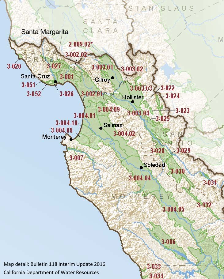
Santa Margarita
Statistics
- Basin Name
- Santa Margarita
- Basin Number
- 3-027
- SGMA Basin Priority
- Medium
- Critically Overdrafted
- No
- Hydrologic Region Name
- Central Coast
- Counties
- Santa Cruz
Basin Notes
2004: Bulletin 118 basin description (as Scotts Valley)
2014: CASGEM basin prioritization: Very Low. Overdraft and water quality issues associated with contaminated sites within the basin
2016: Basin boundary modification created Santa Margarita from Scotts Valley. Basin description.
2018: Priority: Very Low. Comments: Groundwater levels-
- 1) CASGEM/WDL/GWIDS: No data or data insufficent to determine GWL status. Source: DWR 2) Figure 13a provides groundwater elevation hydrographs from 1984 to 2014 for three representative Santa Margarita wells from different locations across the GWRA. Figure 13 has a vertical scale of 300 feet to show the groundwater elevation variations of the Santa Margarita, Monterey, Lompico and Butano at the same scale. Overall, the groundwater elevations vary by a range of 5 to 20 feet over the time period with a pattern that more closely corresponds to the climatic conditions. In general, groundwater levels in the Santa Margarita have remained relatively stable for the past 30 years. See Scott Valley Annual report showing stable hydrographs. Source: SVWD-2014-Annual-Report_06-16-15.pdf
Salt intrusion – 1) Localized areas with high boron, chloride, magnesium, nitrate, sulfate, and TDS occur in the Santa Margarita Valley Groundwater Basin. Source: LTO-EIS_USBR_Chapter7-GWResources.pdf 2) There is always concern about seawater intrusion into the Base wells resulting from water extraction exceeding the safe yield of the individual basins. For instance, by 1952 the Ysidora Narrows well in the Santa Margarita River basin showed evidence of seawater advance as far as 3-miles upstream due to pumping in the basin (California Department of Water Resources 1956). However, frequent monitoring and extraction control of key sentinel wells appears to have helped prevent such contamination from occurring in recent years. By maintaining a five-foot static water level at this critical well site, seawater intrusion has apparently been avoided* (Leedshill-Herkenhoff 1989). Source: Santa Margarita Valley Water District *Editor’s note — dated comment; unreliable conclusion.
2018: Final Basin Prioritization: Medium.
2022: January 3 – GSP submitted to DWR
2023: April 27 – DWR approved GSP
At-A-Glance
California Water Library Documents About This Basin
Statement of Findings regarding the Approval of the Santa Margarita Basin Groundwater Sustainability Plan
California Department of Water Resources (DWR) | April 27th, 2023
Santa Margarita Groundwater Agency Groundwater Sustainability Plan
Santa Margarita Groundwater Agency | November 17th, 2021
The plan provides the basis for ongoing management of the Basin by SMGWA to both achieve sustainability in the 20-year planning horizon and maintain sustainability over t