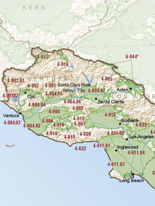
Santa Clara River Valley – Piru
Statistics
- Basin Name
- Santa Clara River Valley – Piru
- Basin Number
- 4-004.06
- SGMA Basin Priority
- High
- Critically Overdrafted
- No
- Hydrologic Region Name
- South Coast
- Counties
- Ventura
At-A-Glance
Located in California’s South Coast hydrologic region, the Santa Clara River Valley – Piru subbasin is 10,896.87 acres in size. This High priority basin is home to an estimated 2,744 people (2010 value). It has approximately 119 wells, of which approximately 4 are water supply wells. Groundwater accounts for approximately 91 percent of the basin’s water supply.

Basin Notes
2003: Bulletin 118 basin description
2014: Basin prioritization: high. Comment: GW quality impacts: nitrates, storm runoff, leaking tanks, etc. (B‐118). High Selenium and other inorganics, average TDS was 1450 mg/l (Ventura co 2011 annual GW report)
2018: Draft basin priority: high. Comments on groundwater level decline, salt intrusion subsidence –
- CASGEM/WDL/GWIDS: Longterm hydrographs show groundwater level decline. Source: DWR 2) Groundwater level decline shown 2014-2015 Piru and Fillmore basins Biennial Groundwater Conditions Report, United Water Conservation District
- Salt intrusion: 1) Water purveyors in the Piru, Fillmore, Santa Paula, Mound, and Oxnard subbasins include United Water Conservation District and Ventura County. United Water Conservation District operates surface water facilities to encourage groundwater protection through conjunctive use (UWCD 2012). Groundwater issues within the United Water Conservation District service area (which includes all of the basin) include overdraft conditions, sea water intrusion, and high nitrate concentrations. Source: Long Term Operation EIS, Chapter 7, U.S. Bureau of Reclamation (USBR)
- Subsidence: Subsidence: Section 2.8 (2013); Figure 2.8 shows subsidence zones based on best available data (1973). Subsidence zones not updated due to lack of geodetic survey data. Source: Ventura County General Plan Hazards Appendix 2013
Comments on draft 2018 SGMA basin prioritization Basin boundary modification request pending with Fillmore and Santa Paula subbasins
2019: Basin boundary modification approved. Per DWR: It “contains three components. The first part is a jurisdictional boundary modification to the Santa Paula and Filmore subbasins that shifts the existing shared boundary to align with the eastern extent of the adjudicated Santa Paula subbasin – this results in non-adjudicated areas being added to the Fillmore subbasin. The second part is a scientific boundary modification to the shared boundary of the Piru and Fillmore subbasins. Geologic maps and groundwater elevation data support the shared boundary location at a steep groundwater gradient inflection point. The third part of the request is a scientific modification to the external boundaries of the Filmore and Piru subbasins. The supporting information follows geologic contacts on a qualified geologic map to delineate the proposed boundary revisions. Four letters of support are associated with the request. Each part of the request meets regulatory requirements and supplies sufficient scientific rationale where needed.” Draft priority: high
2022: January 26 – GSP submitted to DWR
2024: January 18 – GSP deemed incomplete by DWR
