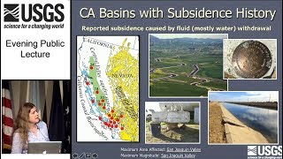
DWR’s SGMA Data Viewer and Updated Subsidence Information

DWR has updated the Sustainable Groundwater Management Program’s SGMA Data Viewer to include updated subsidence information to help Groundwater Sustainability Agencies (GSAs), water managers, and others implement the Sustainable Groundwater Management Act (SGMA). The data now includes historical subsidence information from 1949 to 2005 and updated satellite based remote sensing InSAR data from June 2015 to June 2018.


You may also like

Groundwater Sustainability Plan Initial Notification Webinar
47:54
12 views
A DWR tutorial on how to use the GSP Initial Notification portal.
Groundwater Sustainability Plan (GSP) Reporting System Workshop
1:09:10
8 views
This video demonstrates how to use the Groundwater Sustainability Plan reporting system.
Land subsidence
1:20:22
25 views
The link between groundwater use and sinking landscapes: What is land subsidence, where does it happen, and why does it matter? How do weather and land use affect land subsidence in California? Why are we optimistic about the future of land subsidence in California?
Page 4 of 4

Leave a Reply

This site uses Akismet to reduce spam. Learn how your comment data is processed.