CCST BRIEFING: Remote Sensing Technologies and Water Resilience

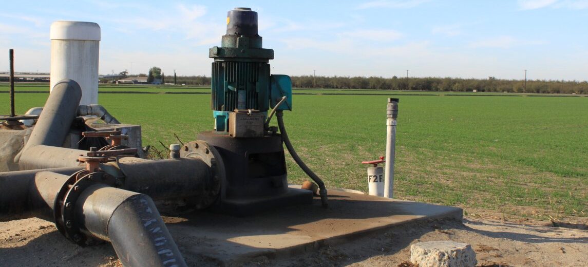
Can we look to the sky to address California’s water challenges?  As California continues to grapple with frequent drought and overdrafted aquifers, satellite-based measurements offer a cost-effective way to generate high-resolution data on groundwater resources across a wide geographic area.  In conjunction with other ground-based monitoring, data from satellites can help inform sustainable groundwater management.

In December, the California Council on Science and Technology brought three experts together to discuss the role of remote sensing technologies to provide information to support water management decisions.

Panel discussed groundwater applications of Open ET and InSAR to groundwater management in the San Joaquin Valley.

Click here to read this post/watch briefing video.

The end of California’s groundwater free-for-all

“The water spigots on California farms will soon be twisted tighter.

As the state faces a growing threat from drought, an increasing number of water agencies are planning to require flow meters on agricultural wells, part of a landmark effort to measure and constrain pumping that used to be free and unlimited. It’s a controversial step aimed at protecting water supplies that could change cultivation practices in the Golden State’s thirsty fields.

“It’s hard to be as efficient as possible if you don’t know how much water you’re using,” said Sierra Ryan, interim water resources manager for Santa Cruz County.

Under the state’s tough new groundwater protection law, “we now have a legal obligation to manage our groundwater sustainably,” she said. “And we cannot manage the basin with such large uncertainties in our water use.” ... ”

Click here to continue reading this article at the San Jose Mercury News.

Click here to visit the Groundwater Exchange’s news page.

OpenET: A Web Application ​to Transform Water Management in the Western United States

Environmental Defense Fund (EDF), NASA, the DesertResearch Institute (DRI) and Google announced plans today to develop a new web application called ​OpenET​ to enable western U.S. farmers and water managers to accurately track water consumption by crops and other vegetation using data from satellites and weather stations.

OpenET will fill a critical information gap in water management in the West. Today, access to accurate, timely satellite-based data on the amount of water used to grow food is fragmented and often expensive, keeping it out of the hands of many farmers and decision-makers. Water supplies in the western U.S. are critical to the health of our communities, food supply and wildlife, but they are facing increasing pressures in the face of population growth and a changing climate.

Applications of OpenET data include:

●Informing irrigation management and scheduling practices to ​maximize “crop per drop” and reduce costs for water and fertilizer​.

●Enabling water and land managers to ​develop more accurate water budgets and innovative management programs that promote adequate water supplies for agriculture, people, and ecosystems.

●Supporting groundwater management, water trading and conservation programs that increase the economic viability of agriculture across the West.

Learn more by visiting OpenETData.org

Could the Answer to Groundwater Resources Come From High in the Sky?

From the Lawrence Berkeley National Laboratories:

Groundwater makes up 30 to 50 percent of California’s water supply, but until recently there were few restrictions placed on its retrieval. Then in 2014 California became the last Western state to require regulation of its groundwater. With deadlines starting this year, for the first time water managers in the nation’s premier agricultural region – the state’s Central Valley – are tasked with estimating available groundwater. It’s a daunting technological challenge.

Now a new computational approach developed by scientists at the Department of Energy’s Lawrence Berkeley National Laboratory (Berkeley Lab) offers a high-tech yet simple method: it pairs high-resolution images derived by satellite with advanced computer modeling to estimate aquifer volume change from observed ground deformation. The method could help streamline groundwater tracking across a region, once multiple local management agencies begin submitting water management plans to comply with the 2014 Sustainable Groundwater Management Act (or SGMA, pronounced “sigma).

Click here to continue reading.