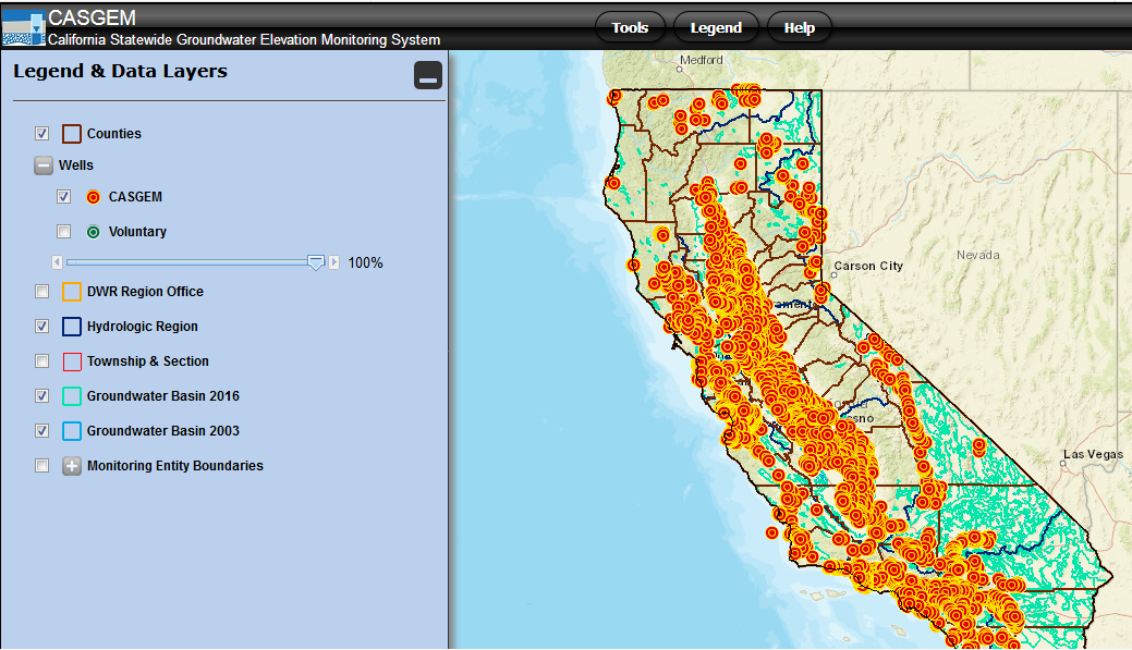
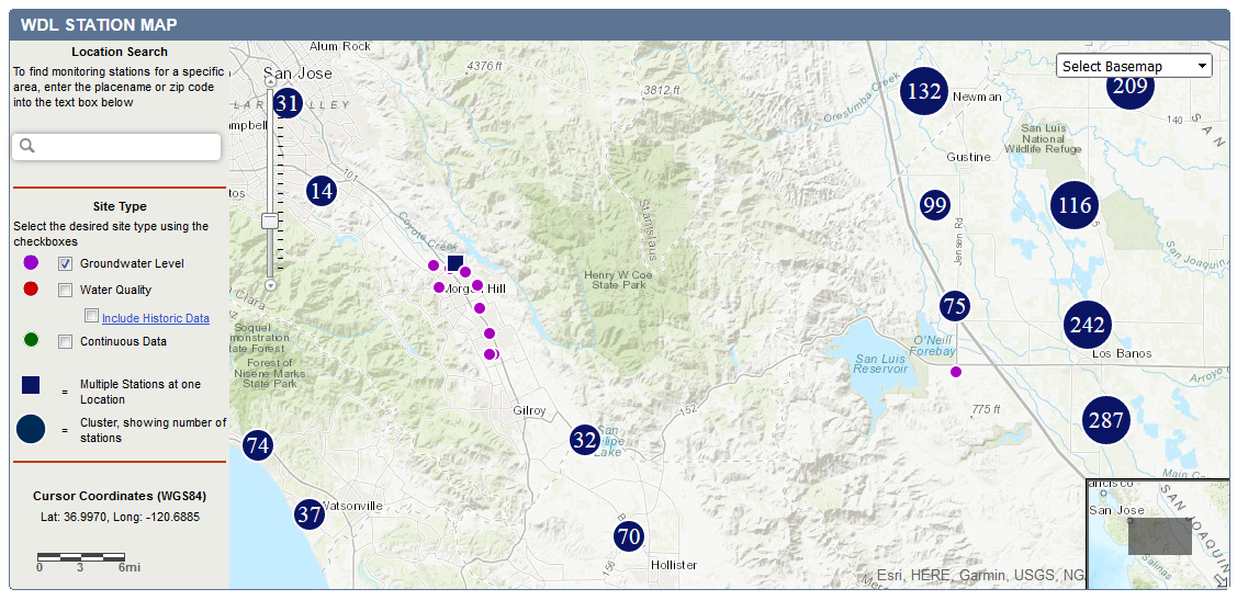
Display and download well information, groundwater data, hydrographs, maps, and more.
This open data platform contains datasets from state agencies, including water quality, disadvantaged communities, crop mapping, Delta levees, g…
An automated system that provides up-to-date and accurate data on surface water distributions in the Central Valley. The tool has information on…
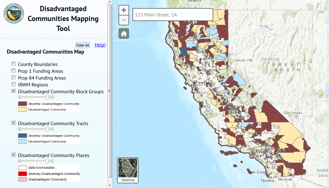
This mapping tool shows disadvantaged community (DAC) status throughout the State, using the definition provided by Proposition 84 IRWM Guidelin…
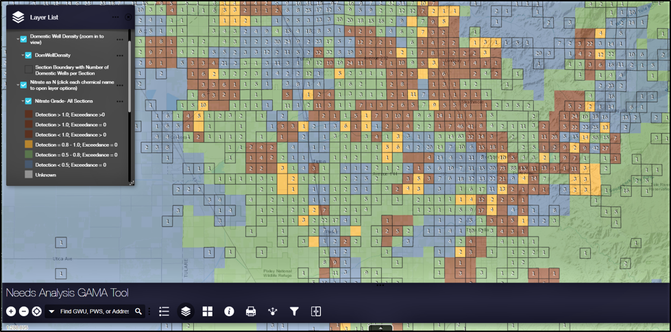
This tool identifies the location and number of domestic wells potentially accessing groundwater affected by constituents at concentrations abov…
Database includes information about the well, the study name, the sampling agency, sample date, analysis date, analyzing laboratory, chemical an…
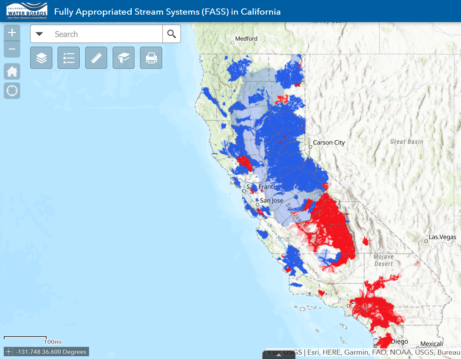
This interactive map displays information regarding fully appropriated stream systems (FASS) in California. The information provided in the pop…
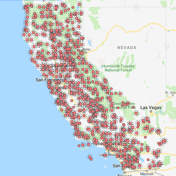
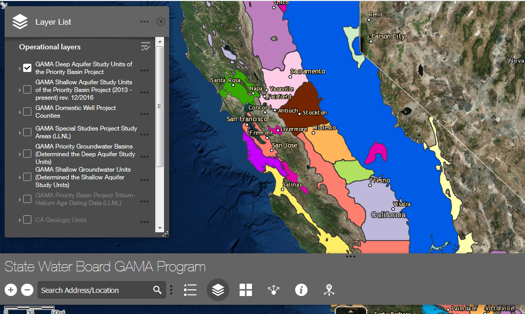
The GAMA Program’s online groundwater information system integrates and displays groundwater quality data from several different sources to he…
This interactive web map displays all published reports from GAMA projects, while also providing study unit information. Reference layers are al…
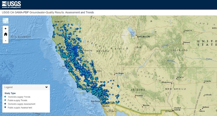
This interactive web map plots water-quality data from domestic and public-supply wells sampled by the USGS for the California GAMA Priority Bas…
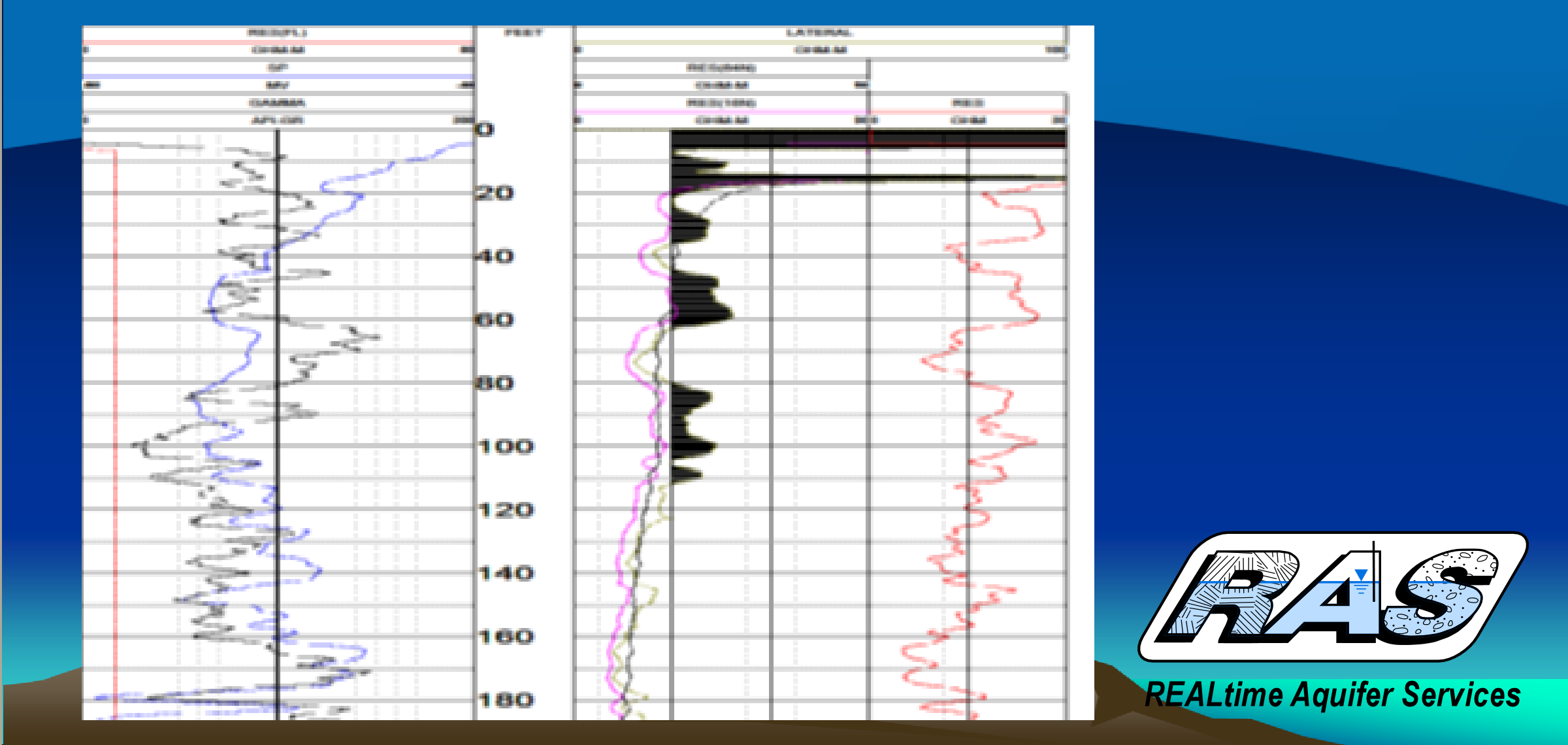
Geophysical logs with electrical resistivity profiles are available in an area including the broader Central Valley. When a new well is drilled…
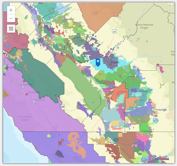
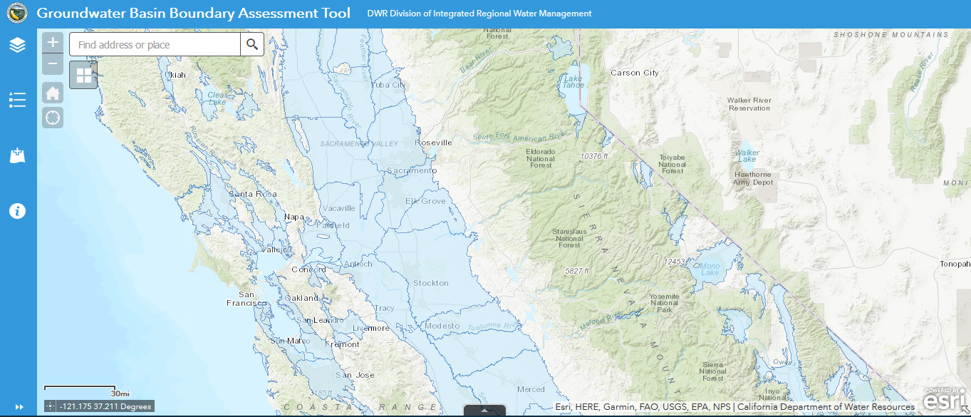
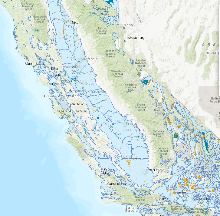
This tool allows you to view existing Bulletin 118 groundwater basin boundaries.
GDE Pulse helps assess changes in groundwater dependent ecosystem (GDE) health using satellite, rainfall, and groundwater data.
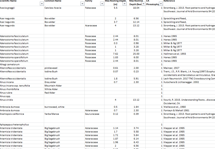
This maximum-rooting depth database provides information that can help assess whether groundwater dependent plants are accessing groundwater. Ac…
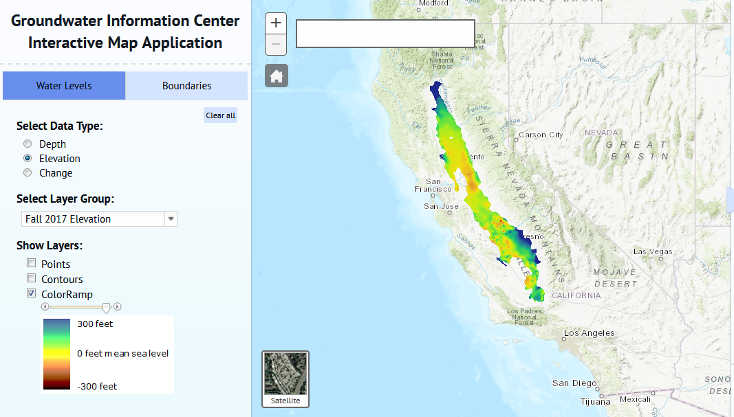
This mapping tool allows you to view and download groundwater depth information and download as GIS shapefiles or GeoTIFF raster files.
The U.S. Geological Survey has created the Groundwater Quality Results Mapping Tool. This interactive web map plots water-quality data from dome…
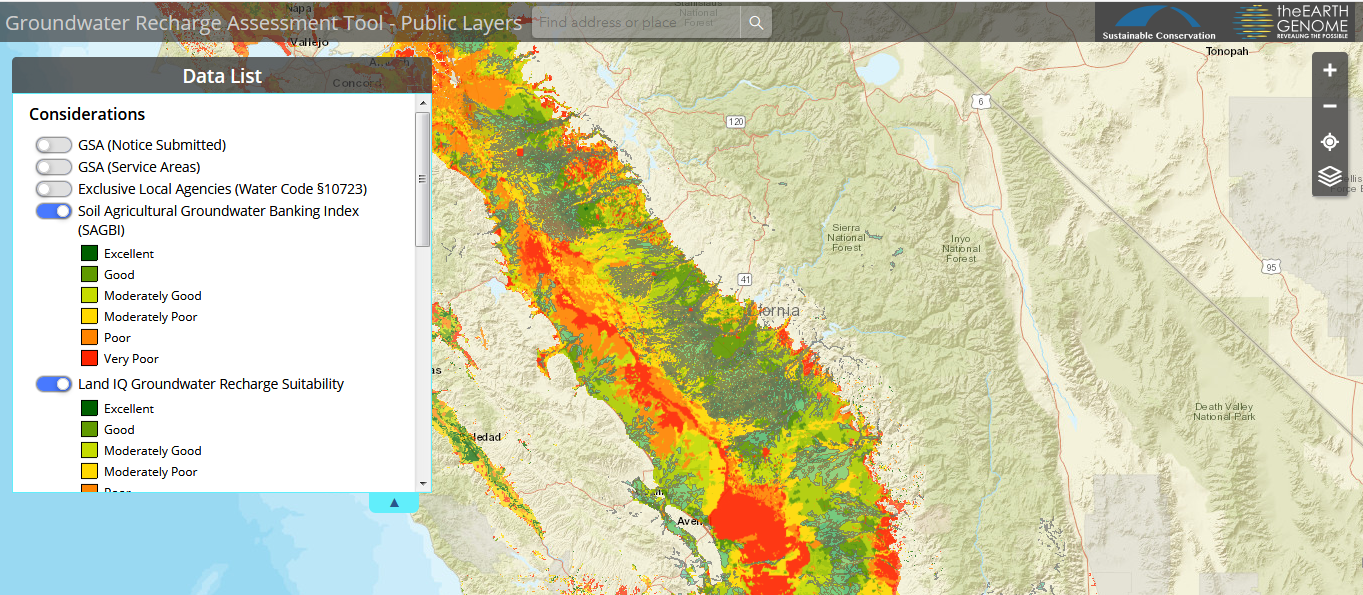
GRAT is deisgned to help GSAs identify and prioritize the most cost-effective on-farm recharge projects and operations.
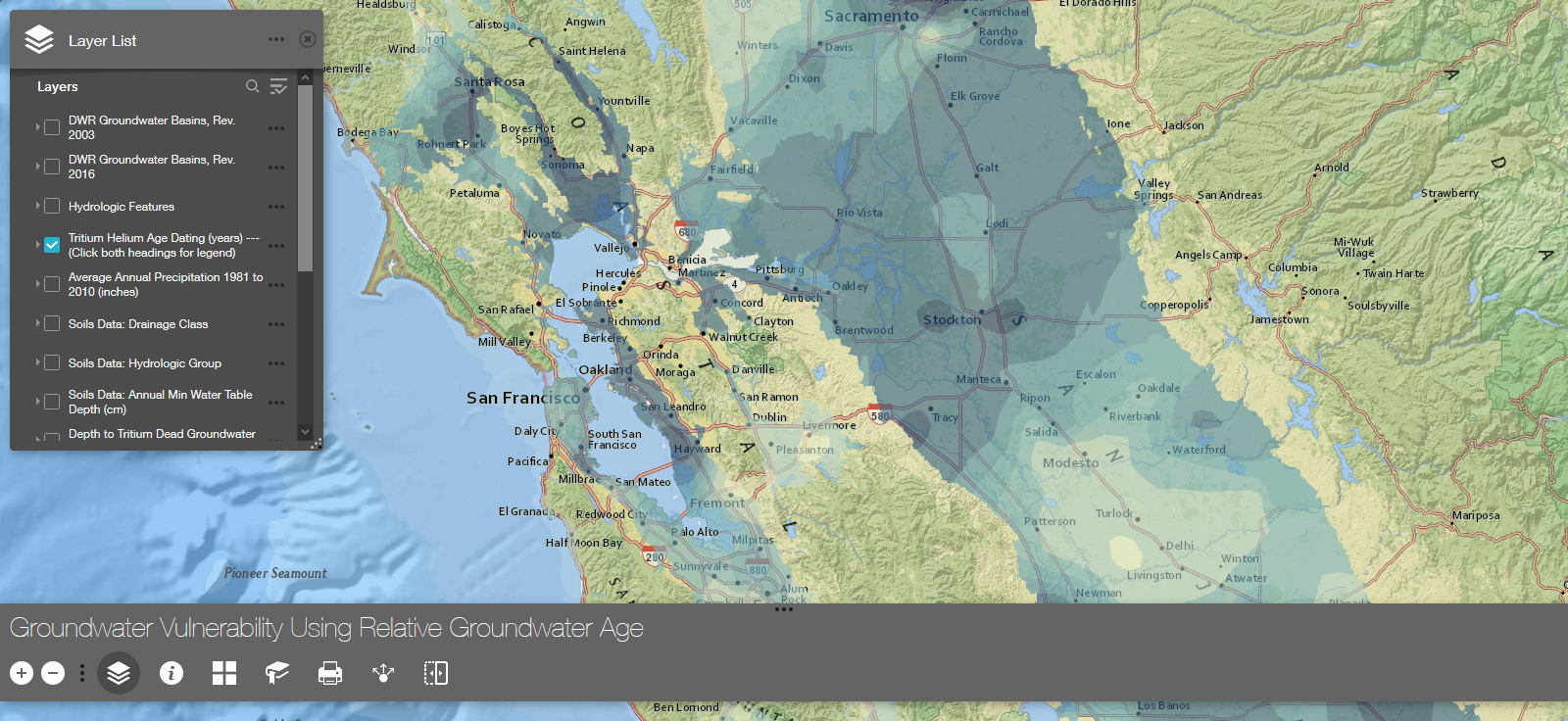
This tool is intended to provide a knowledge of relative groundwater age across California, using the tritium-helium dating technique employed b…
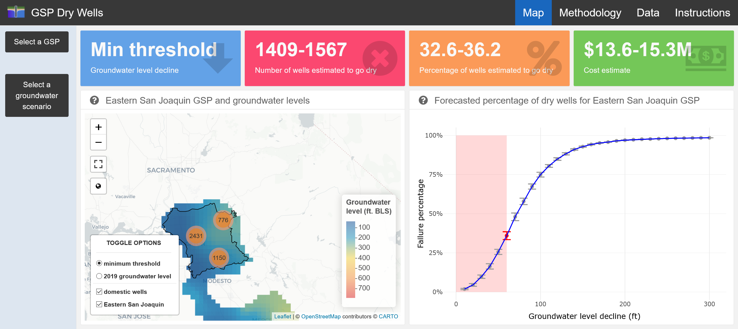
The tool provides visuals and information on how many domestic wells will go dry as a function of groundwater levels decline suggested by submit…
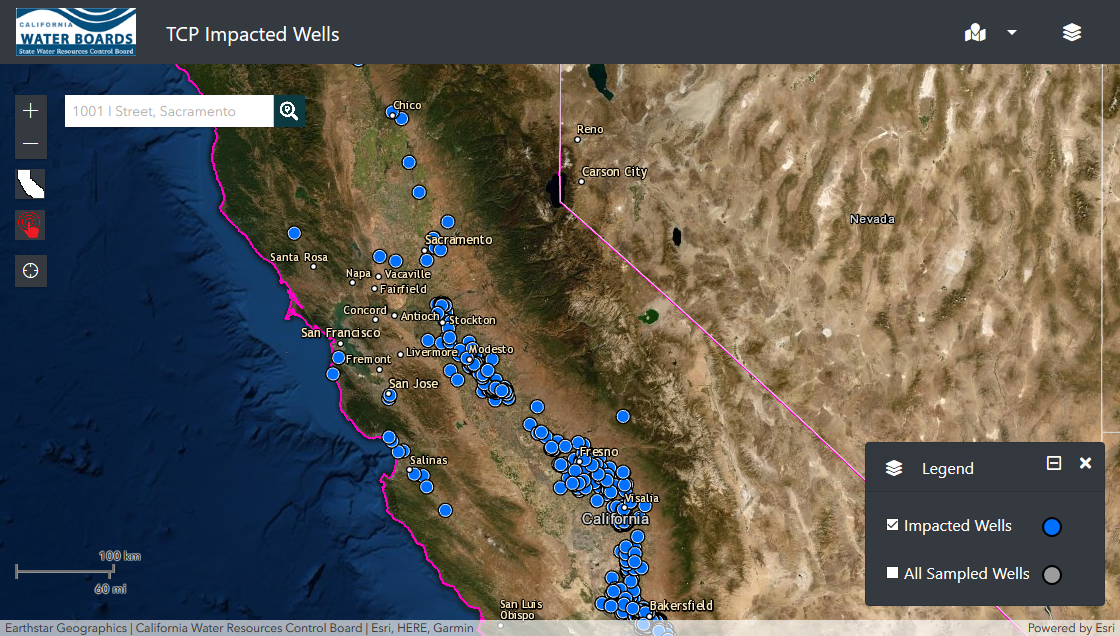
This interactive tool is intended for private domestic well owners to evaluate if their well is near a 1,2,3-Trichloropropane-impacted well. Ent…
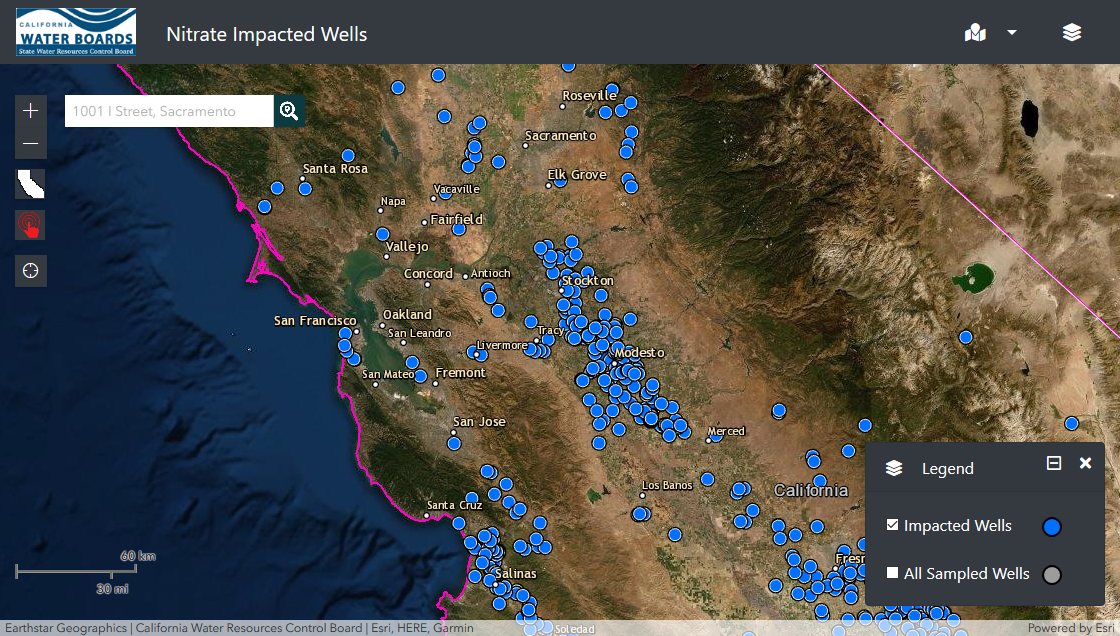
This interactive tool is intended for private domestic well owners to evaluate if their well is near a nitrate-impacted well. Enter your address…
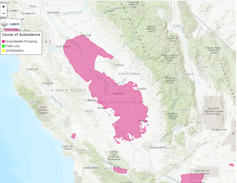
This map shows areas of recorded subsidence—historical and current—across California.
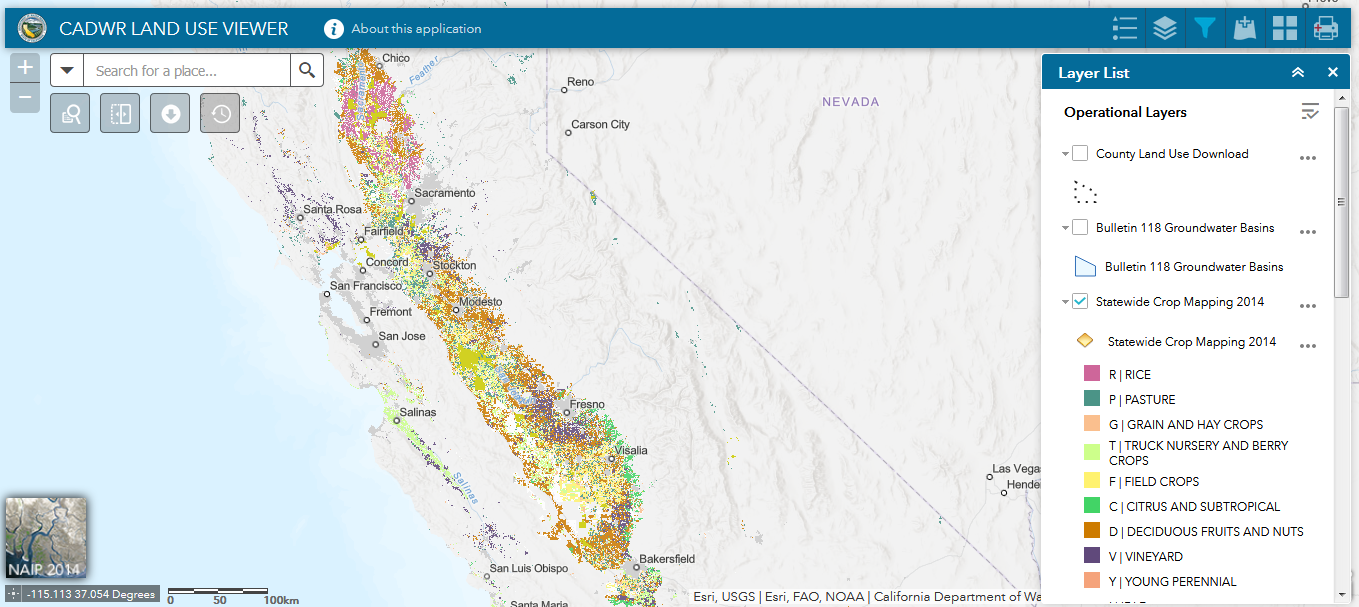
This mapping tool allows you to view and download both statewide and existing county land use datasets from the mid 1980s up to as recent as 201…
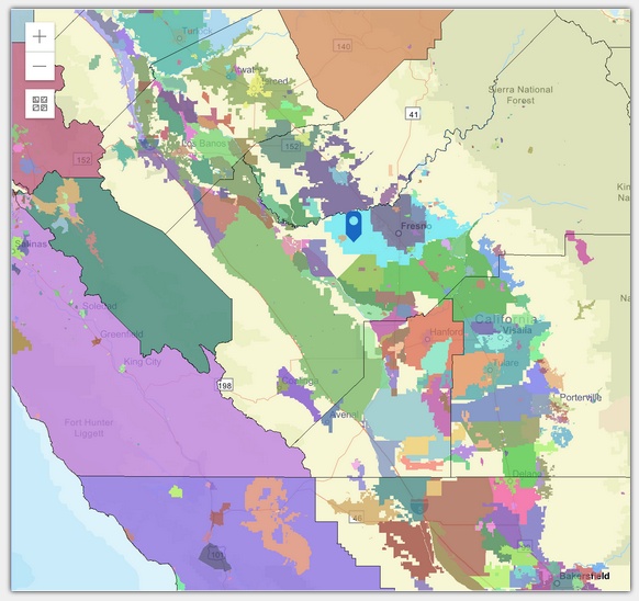
This digital map displays water districts, GSAs and groundwater basin priority levels. Requires free registration.
A statewide spatial database that provides locations of seeps and springs, wetlands, and vegetation likely to depend on groundwater. This databa…
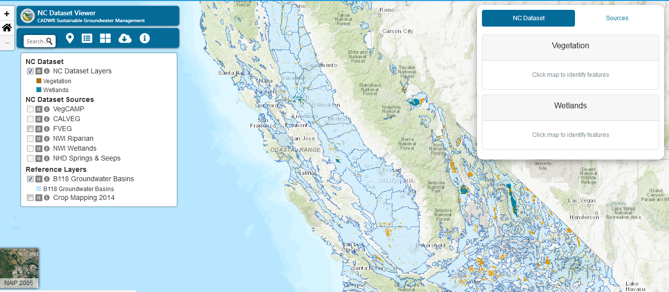
This mapping tool allows viewing and download of Vegetation and Wetland layers contained in the Natural Communities Commonly Associated with Gro…
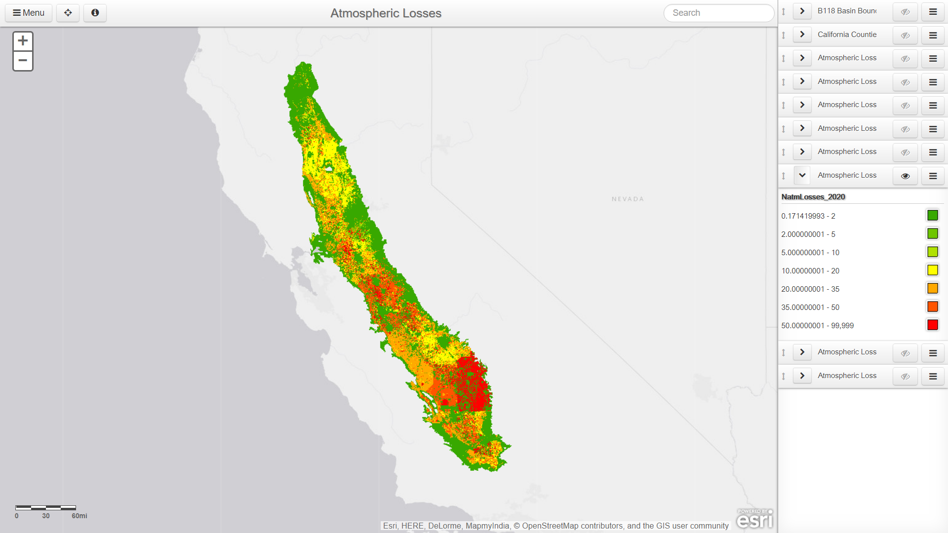
The project includes an extensive study of nitrogen sources, their long-term implications, and potential solutions.
UNAVCO has access to GPS/GNSS, imaging data such as InSAR, TLS; and meteorological data. Most of these can be accessed via web services.
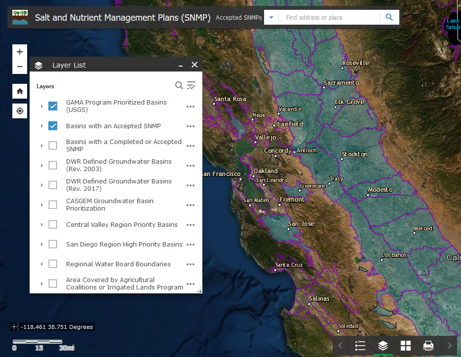
…As part of the Recycled Water Policy adopted by the State Water Board, agencies, municipalities, and local stakeholders are to develop salt and …
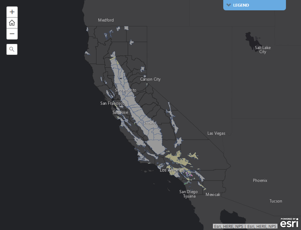
Find out the compliance status of a groundwater basin.
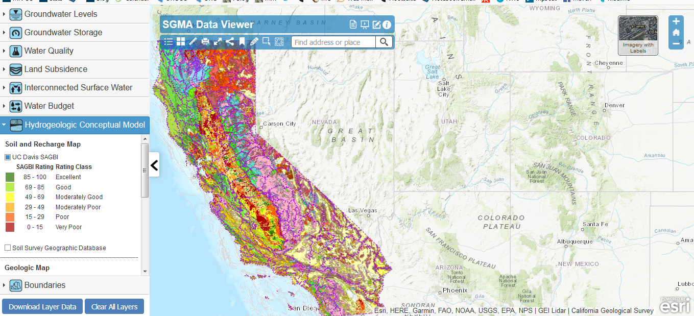
The SGMA Data Viewer is a mapping application for viewing and downloading SGMA related datasets organized for GSP development.
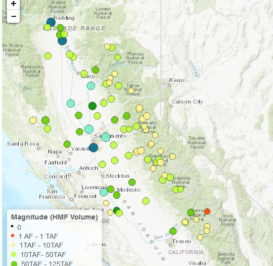
An index and web application of high-magnitude streamflow availability for groundwater recharge across the Central Valley, including a relative …
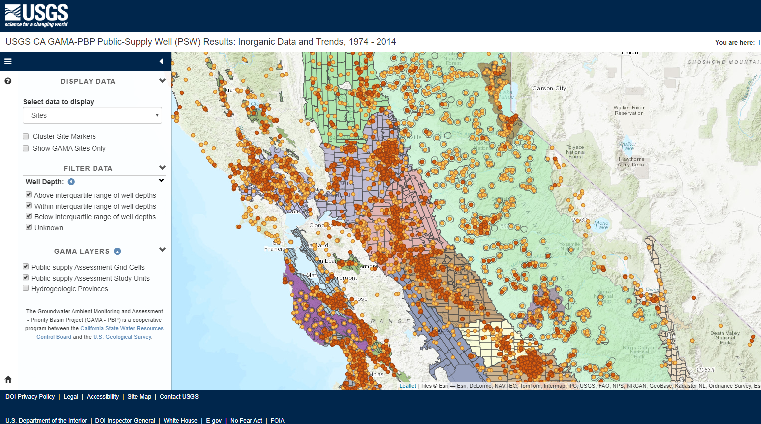
The U.S. Geological Survey trends analysis tool allows the user to observe trends in 38 inorganic constituents from the GAMA Priority Basin Proj…
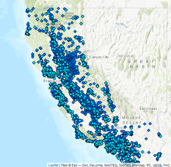
Download groundwater, water quality, surface water, and climate data for over 35,000 wells.
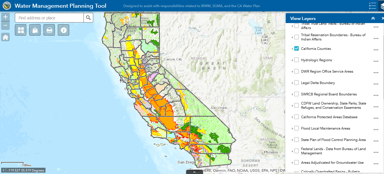
This interactive map application allows you to overlay numerous GIS layers onto a map, such as groundwater basins, hydrologic regions, political…
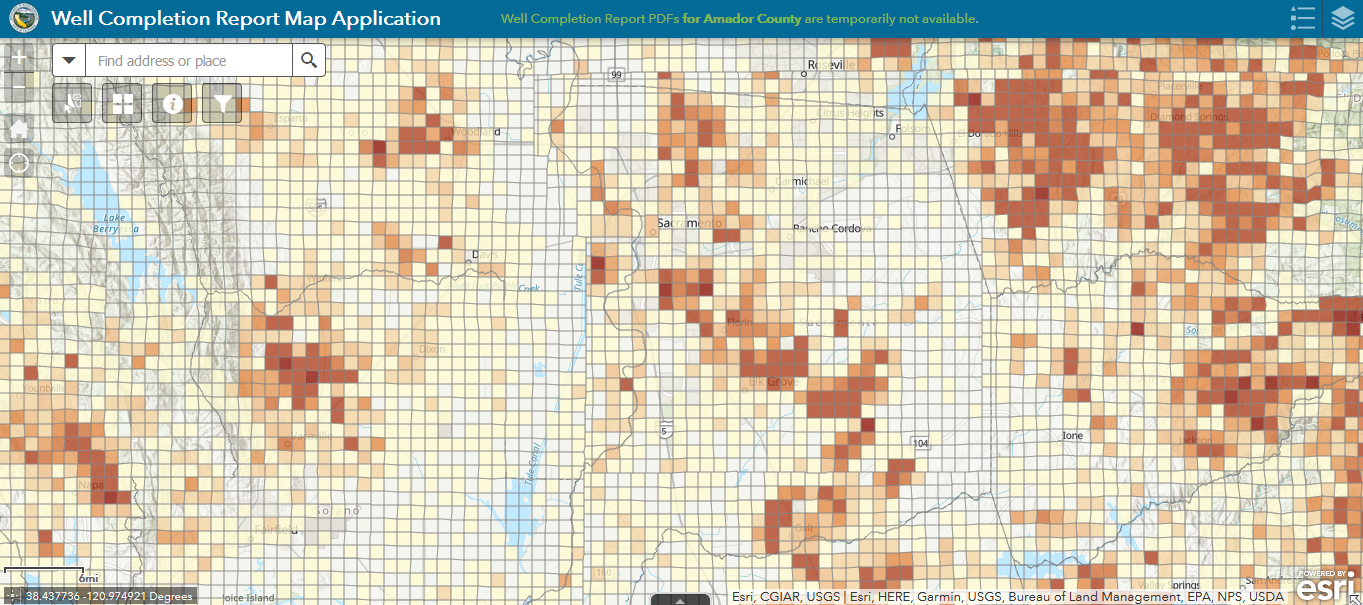
This mapping tool provides direct statewide access to copies of Well Completion Reports, which contain information on planned use, depth of the …

