Smith River Plain
Statistics
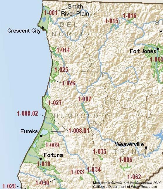
- Basin Name
- Smith River Plain
- Basin Number
- 1-001
- SGMA Basin Priority
- Very Low
- Critically Overdrafted
- No
- Hydrologic Region Name
- North Coast
- Counties
- Del Norte
- Adjacent Basins
-
No items found
Basin Notes
1957: Geology and Features of the Smith River Plain, Del Norte County, CA, by William Black, USGS
1970: A Study of the Smith River Basin and Plain, California Department of Water Resources
2003: Bulletin 118 basin description
2016: Basin prioritization comment – Groundwater levels: 1)CASGEM/WDL/GWIDS: Stable hydrographs. Source: DWR 2) Generally, groundwater level data show a seasonal fluctuation of approximate five to 15 feet for normal and dry years. Source: Draft Environmental Assessment, Smith River Rancheria Water Resource Development Project, U.S. Bureau of Reclamation (USBR) Salt intrusion: Salinity monitoring found salt water intrusion to reach 7.65 km upstream of the mouth during summer low flow conditions. Comparatively the salt water intrusion was minimal during the winter season indicating the majority of the lower Smith River estuary is freshwater during the winter months. (Saline intrusion most likely due to seasonal variations and not from pumping groundwater). Source: Distribution of Juvenile Salmonids and Seasonally Available Aquatic Habitats Within the Lower Smith River Basin and Estuary, Del Norte County, California, Smith River Alliance, 2015
2018 Basin Prioritization (Dec 2018): priority changed from medium to very low
2019: Basin prioritization: Very Low
At-A-Glance