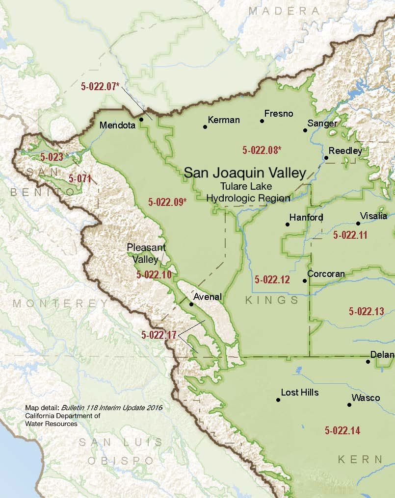
San Joaquin Valley – Pleasant Valley
Statistics
- Basin Name
- San Joaquin Valley – Pleasant Valley
- Basin Number
- 5-022.10
- SGMA Basin Priority
- Medium
- Critically Overdrafted
- No
- Hydrologic Region Name
- Tulare Lake
- Counties
- Fresno
Basin Notes
2003: Bulletin 118 basin description
2014: CASGEM basin prioritization – Low
2016: Basin boundary modification with subbasin Kern County 5-022.14 approved Basin boundary modification with Westside 5-022.09 approved
Revised basin boundary description
2018: Draft basin priority – medium. Declining groundwater and subsidence comments:
- 1) CASGEM/WDL/GWIDS: Longterm hydrographs show groundwater level decline. Source: DWR 2) Basin Boundary modification request reports overdraft conditions as submitted by local managers. ” Most of these hydrographs indicate water-level declines through the early 1990s, then relatively stable levels from the early 1990s to about 2005. After 2005, water levels in many wells began to decline again. Water-level declines after 2005 in most wells ranged from about five to ten feet per year. Hydrographs in report appendix show long-term GWL decline.” Source: Technical Report on Hydrogeologic Conditions in Pleasant Valley Sub-Basin, March, 2016, Kenneth D. Schmidt and Associates Groundwater Quality Consultants for the Pleasant Valley Water District Coalinga, California downloadable at CA DWR SGMA Portal.
- Sources: 1) Current Land Subsidence in the San Joaquin Valley, USGS; 2) 2014 – Land Subsidence from Groundwater Use in California, California Water Foundation / James W. Borchers / Michael Carpenter, Luhdorff & Salmanini, April 2014; 3) Progress Report: Subsidence in the Central Valley, California, Jet Propulsion Laboratory, California Institute of Technology, NASA 2015-16
Final Basin Prioritization: Medium.
2024: January 18 – DWR deemed GSP incomplete
July 16 – Revised GSP submitted to DWR
July 18 – DWR opens public comment until 9/16
At-A-Glance
California Water Library Documents About This Basin
San Joaquin Valley Conveyance Study
California Department of Water Resources (DWR) | November 24th, 2025
This San Joaquin Valley Conveyance Study analyzes water conveyance needs in the San Joaquin Valley (Figure ES-1). The purpose of this study is to: •Describe the impa
Statement of Findings Regarding the Determination of Inadequate Status of the San Joaquin Valley – Pleasant Valley Subbasin 2024 Groundwater Sustainability Plan
California Department of Water Resources (DWR) | February 27th, 2025
Replenishing Groundwater in the San Joaquin Valley: 2024 Update
Public Policy Institute of California (PPIC) | June 6th, 2024
Strategies to replenish groundwater basins—long used in some areas of the San Joaquin Valley—have increasingly come into focus as the region seeks to bring its overd
Statement of Findings regarding the Determination of Incomplete Status of the San Joaquin Valley – Pleasant Valley Subbasin Groundwater Sustainability Plan
California Department of Water Resources (DWR) | January 18th, 2024
The Department of Water Resources (Department) is required to evaluate whether a submitted groundwater sustainability plan (GSP or Plan) conforms to specific requirements
Modeling the dynamic penetration depth of post-1950s water in unconfined aquifers using environmental tracers: Central Valley, California
Journal of Hydrology (Elsevier) | December 5th, 2022
The penetration depth of post-1950s recharge (D-1950) in aquifers is a marker that is frequently used to identify groundwater that is susceptible to anthropogenic contami
Pleasant Valley Groundwater Sustainability Plan
Pleasant Valley Groundwater Sustainability Agency | February 22nd, 2022
Modesto Subbasin Groundwater Sustainability Plan
Stanislaus and Tuolumne Rivers Groundwater Basin Association (STRGBA) | January 31st, 2022
This Groundwater Sustainability Plan (GSP) covers the entire Modesto Subbasin (5-22.02), designated a high-priority basin by the Department of Water Resources (DWR). The
Drought impacts to water footprints and virtual water transfers of the Central Valley of California
American Geophysical Union (AGU) | June 23rd, 2017
Land subsidence in the San Joaquin Valley, California, USA, 2007–2014
Copernicus Publications | November 12th, 2015