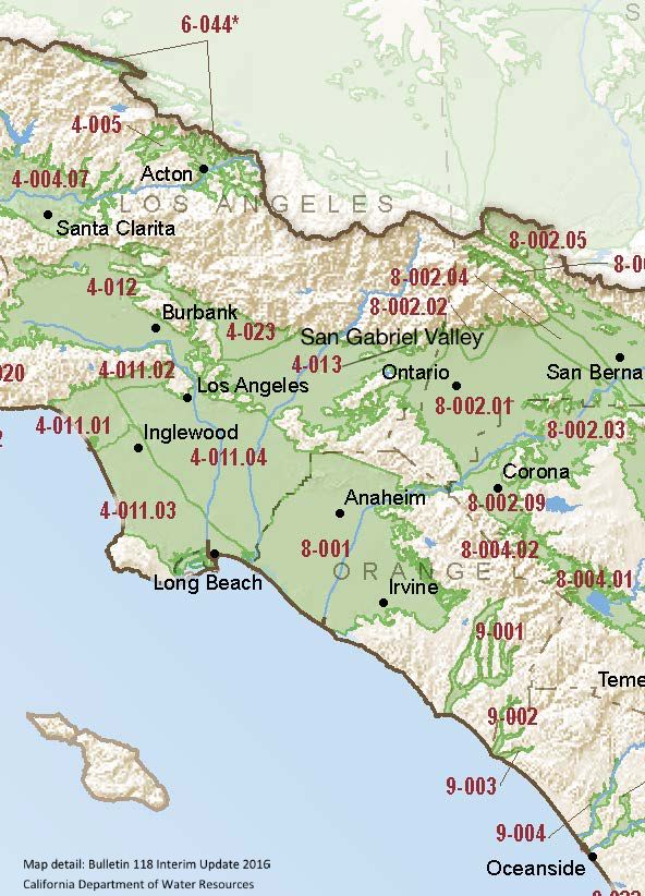
San Gabriel Valley
Statistics
- Basin Name
- San Gabriel Valley
- Basin Number
- 4-013
- SGMA Basin Priority
- Very Low
- Critically Overdrafted
- No
- Hydrologic Region Name
- South Coast
- Counties
- Los Angeles
At-A-Glance
Located in California’s South Coast hydrologic region, the San Gabriel Valley is 126,379 acres in size. This Very Low priority basin is home to an estimated 1,267,729 people (2010 value). It has approximately 1463 wells, of which approximately 242 are water supply wells. Groundwater accounts for approximately 73.65 percent of the basin’s water supply.

Basin Notes
1973-present: History of the basin adjudication, San Gabriel Valley Watermaster
1993: San Gabriel Basin Water Quality Authority formed by legislature in response to groundwater contamination
2003: Bulletin 118 basin description
2005: San Gabriel River Corridor Master Plan hydrology chapter, LA County Department of Public Works
2006: June – San Gabriel River Corridor Master Plan, LA County Department of Public Works
2014: CASGEM basin priority – high. Comment – Superfund sites in basin.
2016: May – San Gabriel Valley Groundwater Basin Salt and Nutrient Management Plan
2017: August 30 – Contaminated ground water in San Gabriel Valley gets $250 million boost, extending cleanup until 2027, San Gabriel Valley Tribune
2018: Draft basin prioritization – Very Low. Comments:
- 1) CASGEM/WDL/GWIDS: Long term hydrographs more or less stable. Source: DWR
- 2) Water Master Annual report hydrograph for key well shows a decline of about 50 feet since 1989. Source: Main San Gabriel Basin Watermaster Annual Report 2015-2016
2017-18 Main San Gabriel Basin Watermaster Annual Report; previous yearly reports Basin 97.01 adjudicated. Web page: Main San Gabriel Basin Watermaster
2018 Final Basin Prioritization: changed to Very Low
2021: May – San Gabriel Valley Superfund Sites Progress Update – US Environmental Protection Agency (USEPA)
2022: September 15 — Fourth Five Year Review Report for the San Gabriel Valley Area 2 Superfund Site, Los Angeles, California
2023: April 30 – 2022 Annual Performance Evaluation Report – Volume 1 – Baldwin Park Operable Unit Of The San Gabriel Valley Superfund Sites Los Angeles County, California, U.S. Environmental Protection Agency
