Sacramento Valley – South Yuba
Statistics
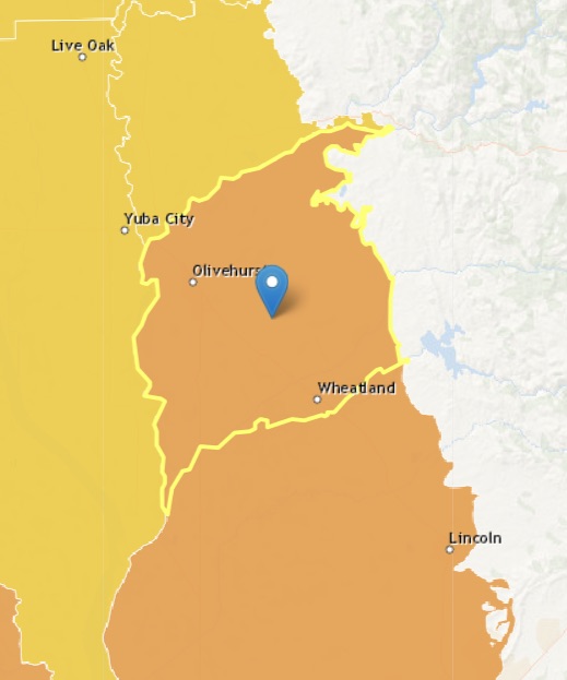
- Basin Name
- Sacramento Valley – South Yuba
- Basin Number
- 5-021.61
- SGMA Basin Priority
- High
- Critically Overdrafted
- No
- Hydrologic Region Name
- Sacramento River
- Counties
- Yuba
Basin Notes
2003: Bulletin 118 basin description
2014: CASGEM prioritization: medium.
2016: Boundary modified with North American 5-021.64 subbasin
2018: Draft Basin Prioritization – high. Comments: 1) CASGEM/WDL/GWIDS: Stable hydrographs. Source: DWR 2) Began using surface water in 1981 to mitigate previous declining groundwater levels; gwls have now recovered. Partly in response to this water table decline, the YCWA began to provide Yuba River water to Brophy Water District and South Yuba Water District in 1983. Monitoring indicates groundwater levels have recovered since the early 1980s. Currently both the Yuba North Subbasin and the Yuba South Subbasin are in good health. Source: Yuba County Water Supply Assessment, Magnolia Ranch DEIR, 2015 Priority set high because of inter-basin water transfers. Groundwater-related transfer “Type A” in which local groundwater is pumped to compensate for diverted surface water. 2019: Basin boundary modification. Per DWR: “The first portion of the basin boundary modification is an external scientific revision to the eastern boundary of the North Yuba subbasin. The boundary utilizes a qualified map and follows geologic contacts of alluvial deposits and consolidated rocks of the Sierra Nevada. The second portion of the modification consists of two internal jurisdictional revisions. This first modifies the boundary between the South Yuba, North American, and Sutter subbasins to align with the Yuba County line and include Dry Creek Mutual Water Company’s jurisdictional boundary within the South Yuba subbasin. The second modifies the boundary between the North Yuba and Wyandotte Creek subbasins to follow and include the jurisdictional boundary of the Ramirez Water District within the North Yuba subbasin.” Draft phase 2 priority: high. December 27,
2019: December 27 – Yuba Water Agency published its Groundwater Sustainability Plan
2020: January 30 – GSP submitted to DWR
2021: November 18 — GSP approved by DWR
At-A-Glance
California Water Library Documents About This Basin
Assessing Causes and Consequences of Winter Surface Water Dynamics in California's Central Valley Using Satellite Remote Sensing
Wiley Online Library | June 3rd, 2025
California's Central Valley is increasingly vulnerable to winter floods. A comprehensive spatial baseline of flood extents is critical for inundation analyses that can en
Remedial Investigation Report for Former Titan 1-A Missile Facility, Lincoln, California
U.S. Army Corps of Engineers (USACE) | February 12th, 2025
Previous investigations have identified groundwater and soil vapor as the primary environmental matrices that have been impacted by the release and volatile organic compo
Quality of groundwater used for domestic supply in the eastern Sacramento Valley and adjacent foothills, California
U.S. Geological Survey (USGS) | November 1st, 2024
More than 2 million Californians rely on groundwater from privately owned domestic wells for drinking-water supply. This report summarizes a water-quality survey of domes
Groundwater sustainability and land subsidence in California’s Central Valley
Water (MDPI) | April 22nd, 2024
The Central Valley of California is one of the most prolific agricultural regions in the world. Agriculture is reliant on the conjunctive use of surface-water and groundw
Thousands of domestic and public supply wells face failure despite groundwater sustainability reform in California’s Central Valley
Nature Portfolio (Springer Nature) | September 8th, 2023
Subsurface water flux in California's Central Valley and its source watershed from space geodesy
American Geophysical Union (AGU) | September 29th, 2022
We combine measurements from Global Positioning System positioning and Gravity Recovery and Climate Experiment gravity to infer change in water components in Central Vall
Statement of Findings regarding the Approval of the South Yuba Subbasin Groundwater Sustainability Plan
California Department of Water Resources (DWR) | November 18th, 2021
Critical Aquifer Overdraft Accelerates Degradation of Groundwater Quality in California's Central Valley During Drought
American Geophysical Union (AGU) | September 1st, 2021
It has been established that wells are at risk to run dry when groundwater levels decline during drought, but associated impacts to water quality are poorly understood.
Status and Understanding of Groundwater Quality in the Northern Sierra Nevada Foothills Domestic-Supply Aquifer Study Units, 2015–17: California GAMA Priority Basin Project
U.S. Geological Survey (USGS) | May 25th, 2021
Multiscale Assessment of Agricultural Consumptive Water Use in California's Central Valley
American Geophysical Union (AGU) | May 4th, 2021
Domestic well vulnerability to drought duration and unsustainable groundwater management in California's Central Valley
Environmental Research Letters (IOP) | March 18th, 2020
Millions of Californians access drinking water via domestic wells, which are vulnerable to drought and unsustainable groundwater management. Groundwater overdraft and th
Yuba Subbasins Water Management Plan: A Groundwater Sustainability Plan
Yuba Water Agency | December 27th, 2019
A hybrid machine learning model to predict and visualize nitrate concentration throughout the Central Valley aquifer, California, USA
Science of the Total Environment (Elsevier) | June 9th, 2017
Intense demand for water in the Central Valley of California and related increases in groundwater nitrate concentration threaten the sustainability of the groundwater res
Beale Air Force Base Environmental Cleanup Program Issue 67
U.S. Air Force | October 31st, 2015
Hydrology, Hydraulics, and Water Management Technical Report
U.S. Bureau of Reclamation (USBR) | December 15th, 2014
This Technical Report describes pertinent hydrologic and hydraulic condition and water management operations for Shasta Lake, the Sacramento River, the Delta, and the CVP
Geochemistry of Ground Water in the Sacramento Valley, California
U.S. Geological Survey (USGS) | July 13th, 1984
A geochemical investigation was done to evaluate temporal changes in water quality and to determine the processes that control water chemistry in shallow ground water of
Ground-water conditions at Beale Air Force Base and vicinity, California
U.S. Geological Survey (USGS) | April 15th, 1980
The U.S. Geological Survey was asked by the Air Force to make a study of ground-water conditions at the base. This report and an earlier data report have resulted