Ojai Valley
Statistics
- Basin Name
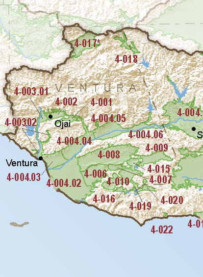
- Ojai Valley
- Basin Number
- 4-002
- SGMA Basin Priority
- High
- Critically Overdrafted
- No
- Hydrologic Region Name
- South Coast
- Counties
- Ventura
- Adjacent Basins
Basin Notes
2003: Bulletin 118 basin description
2016: Basin boundary modification – Revised basin boundary description
2018: Draft prioritization – medium; final prioritization – high
2022: January 31 — Groundwater Sustainability Plan (GSP) submitted to California Department of Water Resources (DWR)
At-A-Glance
California Water Library Documents About This Basin
Statement of Findings regarding the Approval of the Ojai Valley Basin Groundwater Sustainability Plan
California Department of Water Resources (DWR) | October 26th, 2023
Groundwater Sustainability Plan for the Ojai Valley Groundwater Basin
Ojai Basin Groundwater Management Agency | January 31st, 2022
The intent of this GSP is to meet the requirements of SGMA. To this end, this GSP includes the scientific and other background information about the OVGB required by SGM
Geologic Analysis, Ventura River Watershed
Daniel B. Stephens & Associates, Inc. (DBS&A) | March 3rd, 2020
This memorandum summarizes geologic analysis performed for the Ventura River Watershed (VRW) by Daniel B. Stephens & Associates, Inc. (DBS&A) in support of nume
Ventura River Watershed Management Plan
Ventura River Watershed Council | March 13th, 2015
The Ventura River watershed is a rare and remarkable coastal southern California treasure; it is water-self-reliant, providing clean water to many farms and residents bot
Water Supply Conditions in Southern California during 1958-1959, Volume II, Water Level Data, Central Coastal and Los Angeles Regions
California Department of Water Resources (DWR) | May 1st, 1961
Bulletin No. 39-58, Water Supply Conditions in Southern California during 1957-1958, Volume II, Precipitation and Water Level Data, Central Coastal and Los Angeles Regions
California Department of Water Resources (DWR) | August 1st, 1960
Bulletin No. 39-57, Water Supply Conditions in Southern California during 1956-1957, Volume II, Precipitation and Water Level Data Central Coastal and Los Angeles Regions
California Department of Water Resources (DWR) | June 16th, 1958
Bulletin No. 39-57 Volume I Bulletin No. 39-57 Volume III Bulletin No. 39-57 Volume IV