 From the Department of Water Resources:
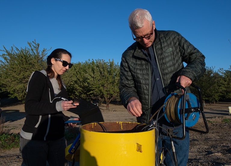
The Department of Water Resources (DWR) produces groundwater level change maps which show groundwater levels in wells throughout the state. When looked at together, these reports give a statewide picture of groundwater conditions and how they change over time – through wet periods or droughts.
Individual groundwater level change reports provide a snapshot of spring and fall groundwater conditions. Spring data is typically collected immediately before the irrigation season begins in a region. This helps show groundwater levels before summer crop irrigation and other uses. The fall levels are taken at the end of the irrigation period. To view the spring 2019 and fall 2019 groundwater level change maps, go to DWR’s Data and Tools webpage, and click on “Maps,” then go to “Statewide Groundwater Level Change Maps.”